Share your climbing route knowledge!
Join us to help improve this comprehensive climbing resource for the community.
NEWCrag maps
LATEST CONTRIBUTIONS
See moreT
edited an area
14 hours
Area
description -> "Mt. Barrille is the northernmost peak on the west side of the Ruth Gorge. It's about 2,750' tall from the glacier and hosts and number of routes, most of which are on the impressively steep east side. The most popular and easiest route to the summit is the Japanese Couloir but beware of poor snow conditions if the temperatures have been warm. The Cobra Pillar is becoming a popular rock climbing objective thanks to the release of the new Alaska Supertopo guide, but don't expect this route to go down easy. The success rate on this route is still very low and most parties will take several days to climb it unless they are very strong.\n\nThe name is the subject of some confusion: the USGS spells it Mount Barrille even though it is named after Edward Barrill."
T
added an area
15 hours
Area
Area
T
edited an area
15 hours
Area
description -> "One of the major ranges of the Karakoram range, the second-highest mountain range in the world."
T
edited an area
15 hours
Area
description -> "One of the major ranges of the Karakoram range, the second-highest mountain range in the world."
T
added an area
15 hours
Area
Area
T
added an area
5 days
T
added an area
5 days
T
added an area
5 days
B
edited an area
5 days
Area
description -> "# Overview\n\nC-section is a nice long wall with a great spread of warm-ups and challenging routes for sport climbers. The wall faces south-west, so it will be shaded until about noon.\n\n# Access\n\nThe access trails to this area are not on Google Maps or the park maps, but some of them should be on Open Street Maps soon (as of Apr 2024)\n\n## From East entrance\n\nPark at the last/main parking lot (Canyon Point). Take Lake Gulch Trail until it crosses the river, then turn left onto Inner Canyon Trail. At the T, keep right onto Rimrock Trail. You should see a turnoff with a sign labelled \"Climber's Access.\" If you go through the 2 switchbacks or reach the top of the canyon, you've gone too far on Rimrock trail. Follow the climber's access trail to the wall.\n\n## From West entrance\n\nPark at the most south parking lot (Falls lot) and start heading south (right) on Creek Bottom Trail. Go past the waterfall, then there should be a way to cross the creek. Take that, then you might have to retrace north a bit, but this will run into the Climber's Access trail mentioned above. Keep left towards the crag (a right will take you back to Rimrock trail)."
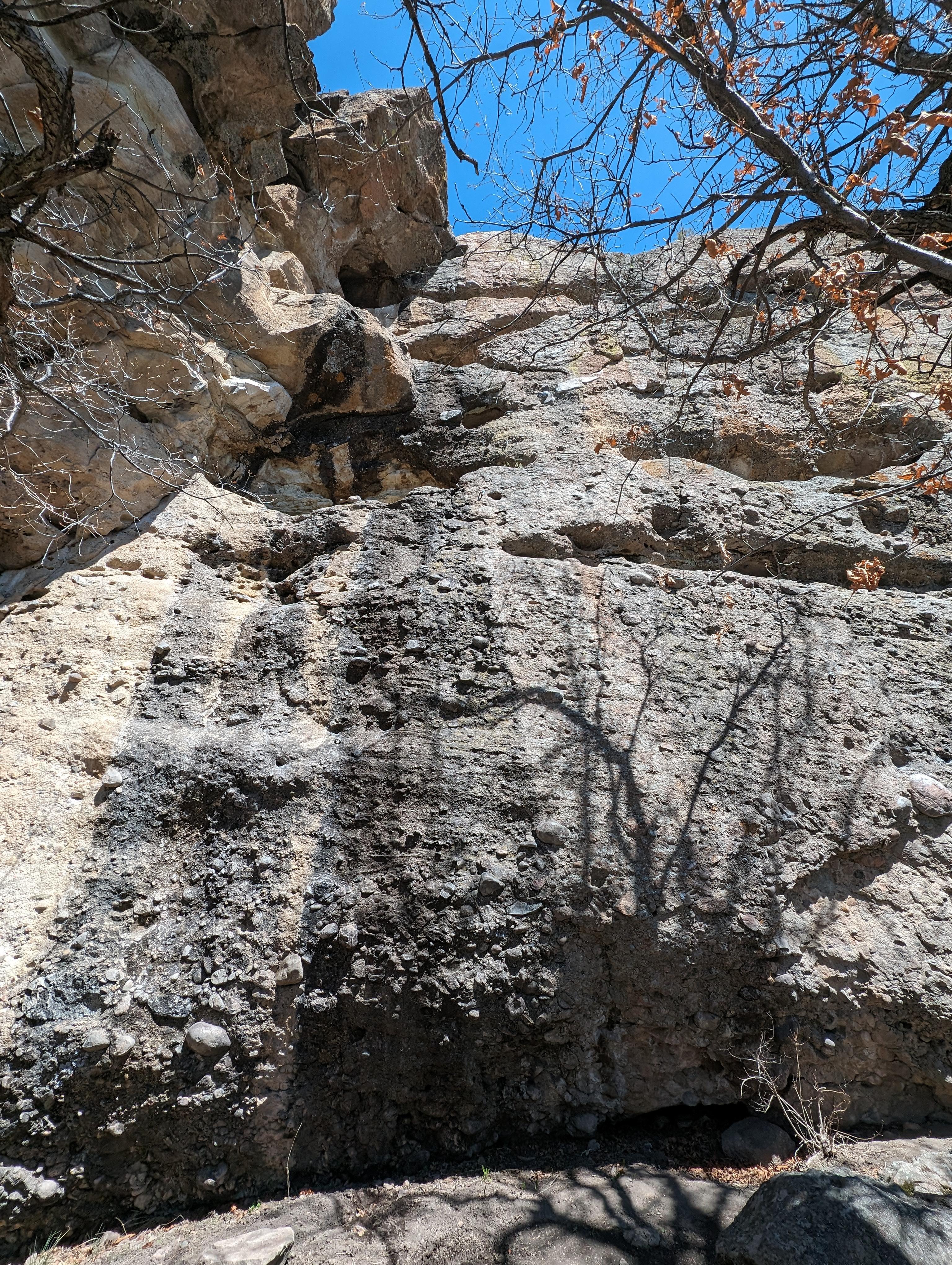
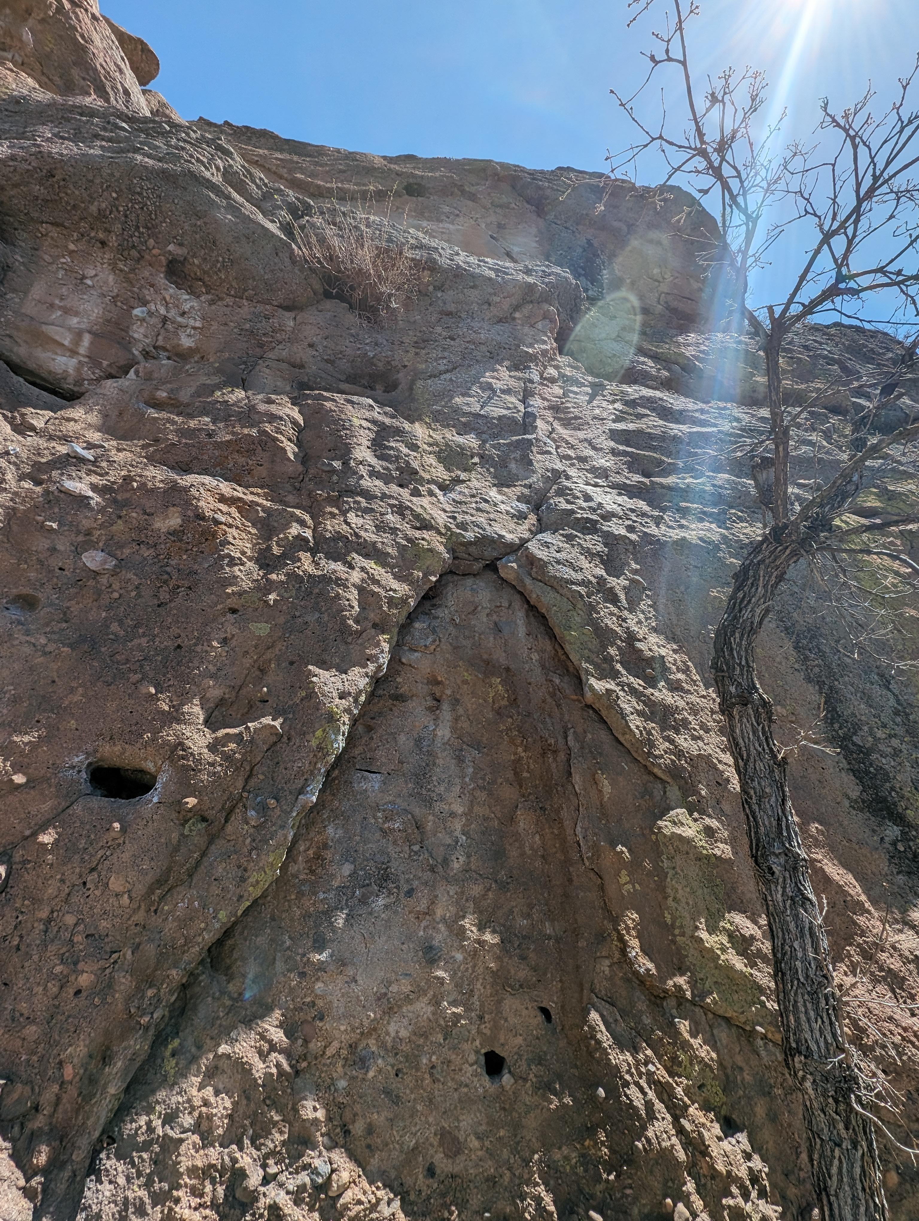
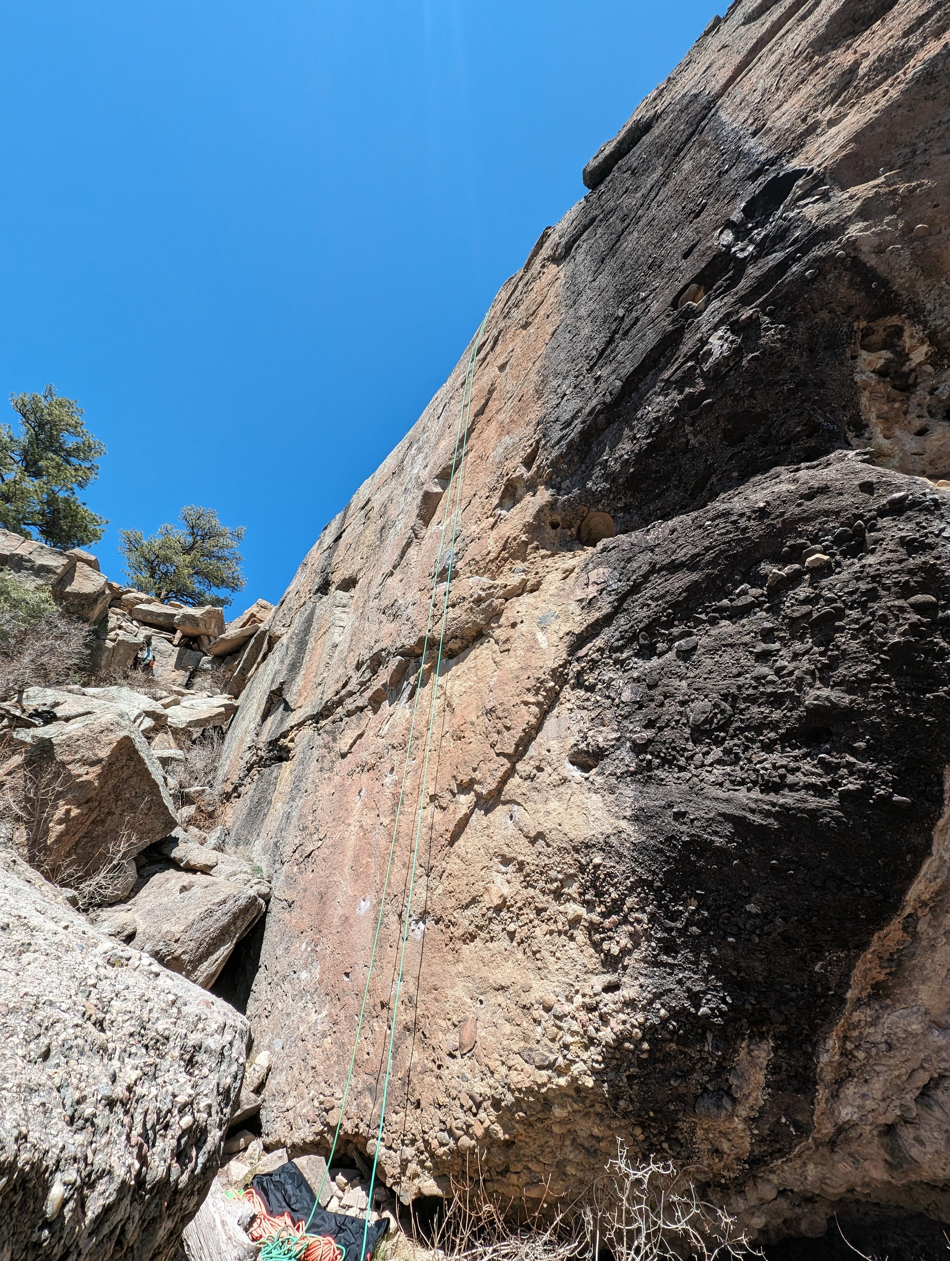
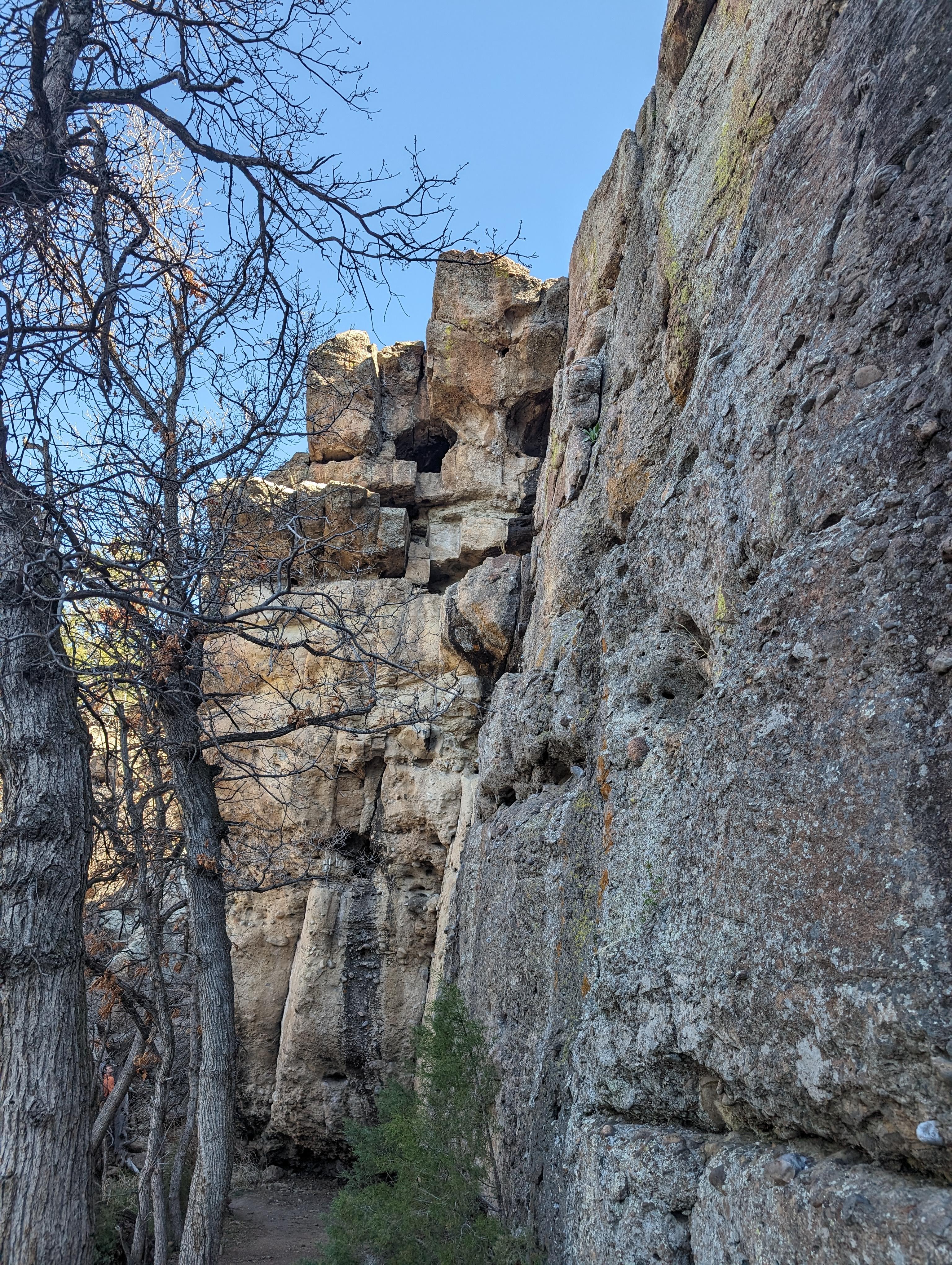
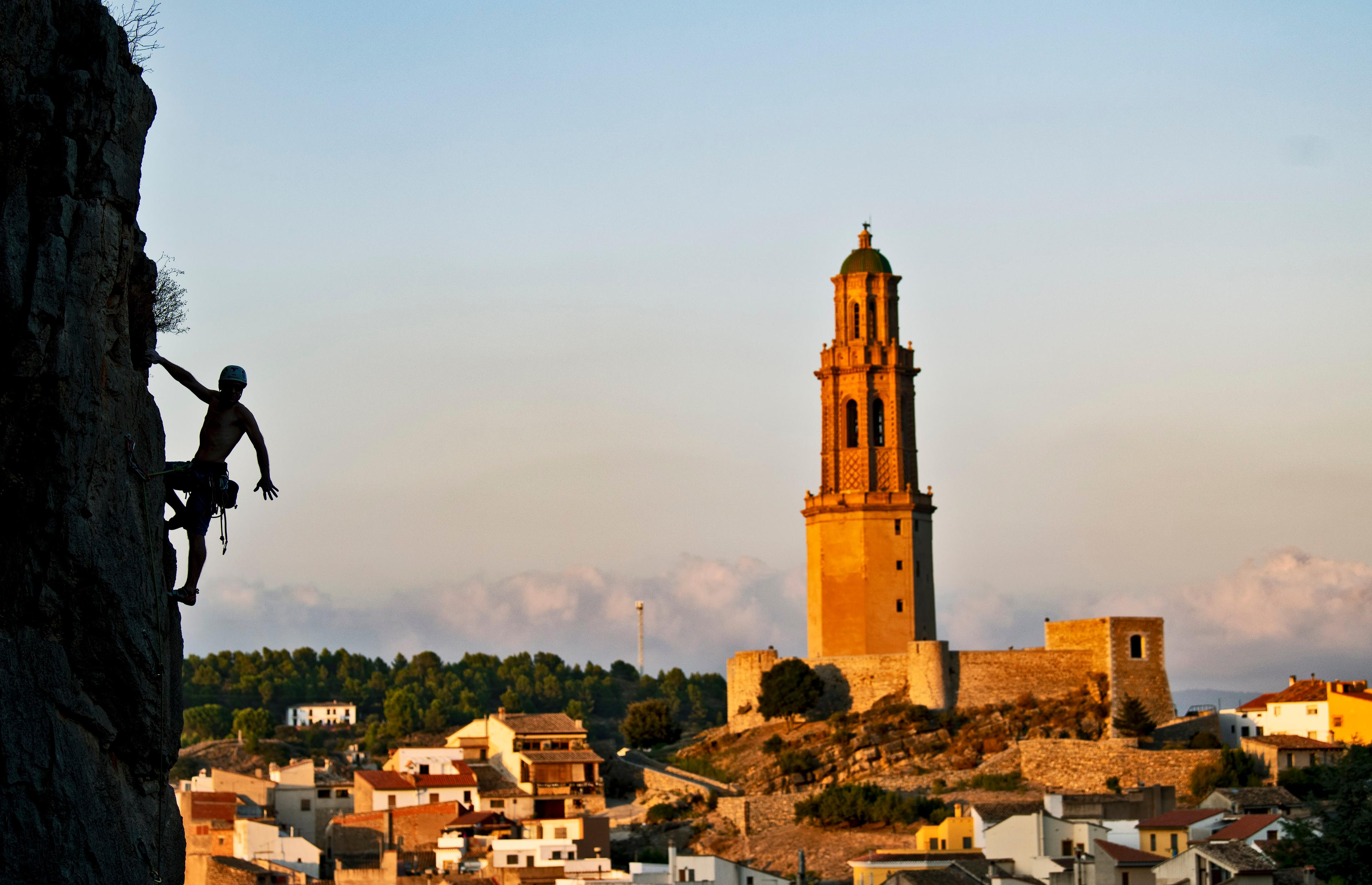
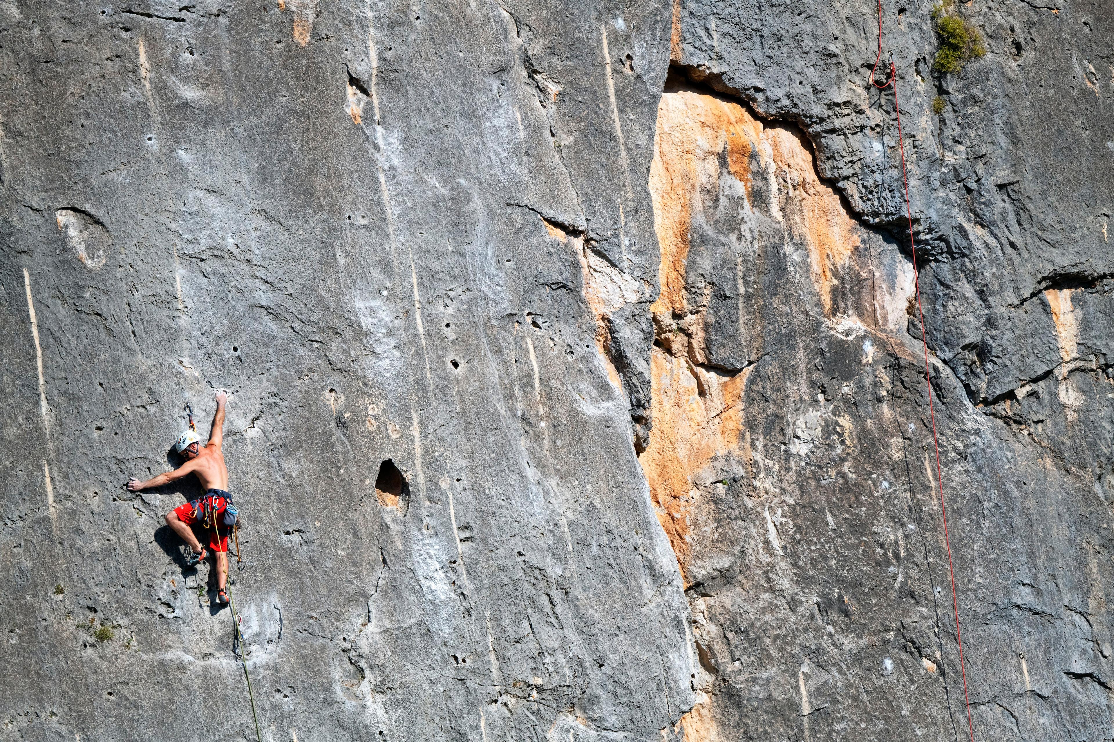
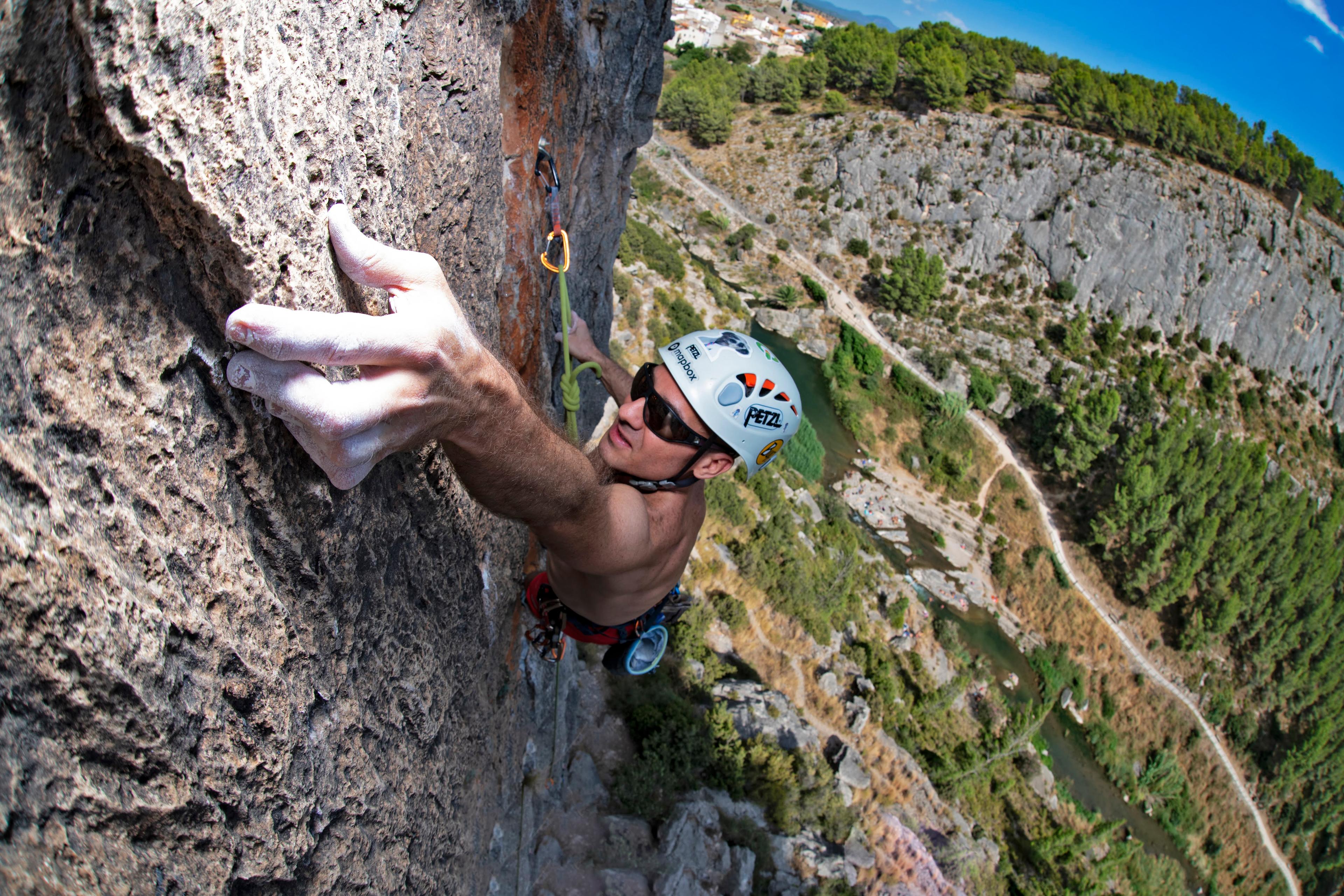
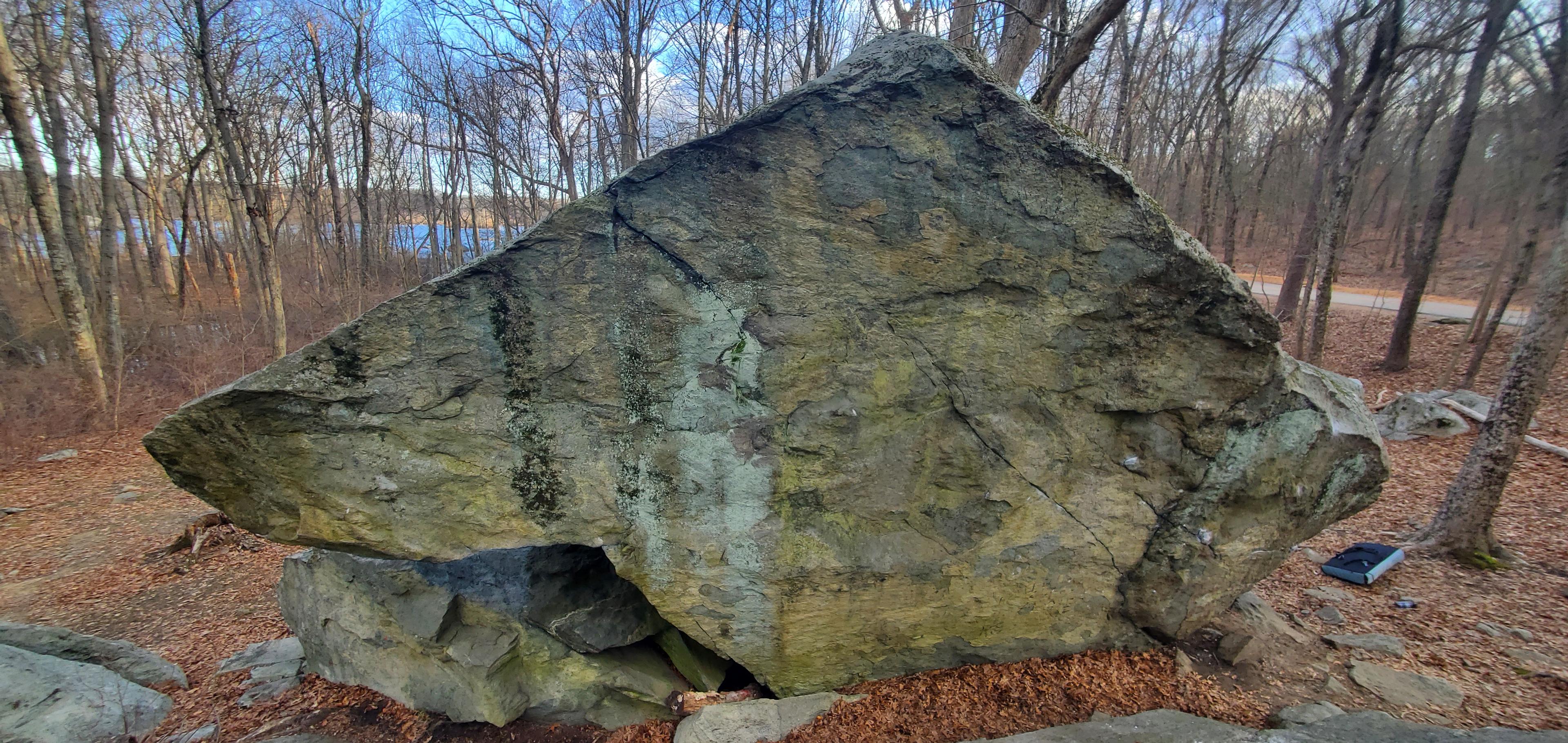
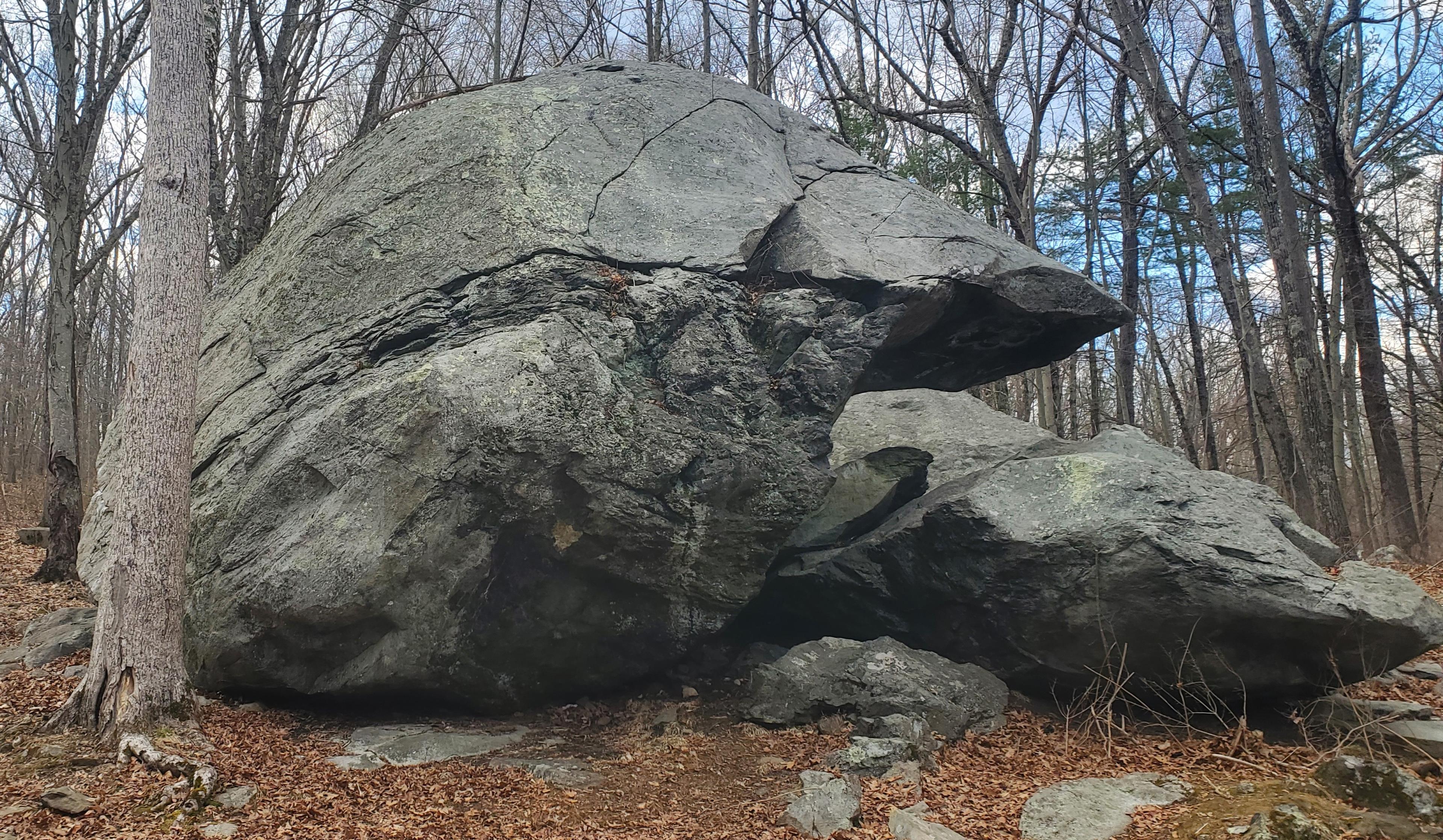
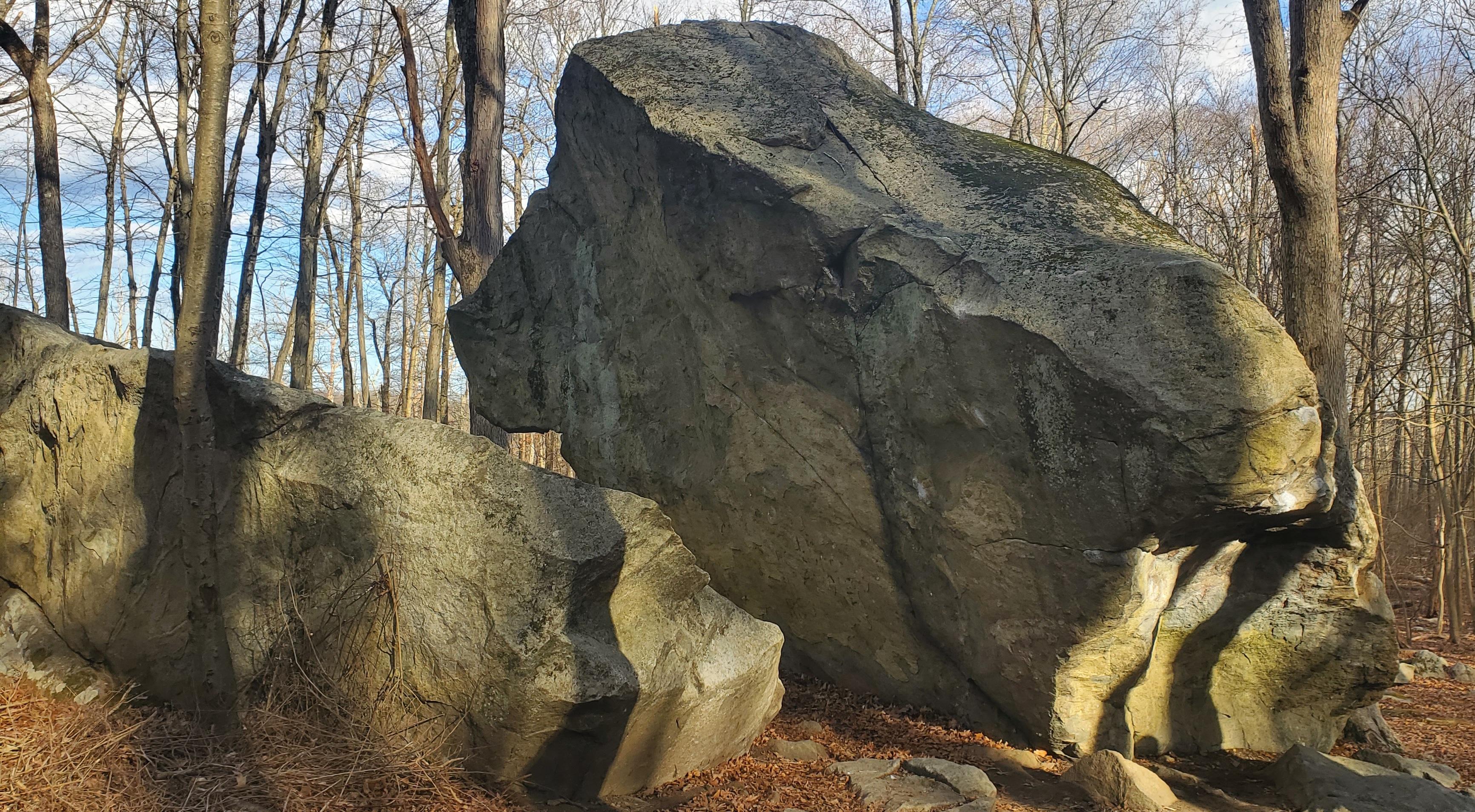
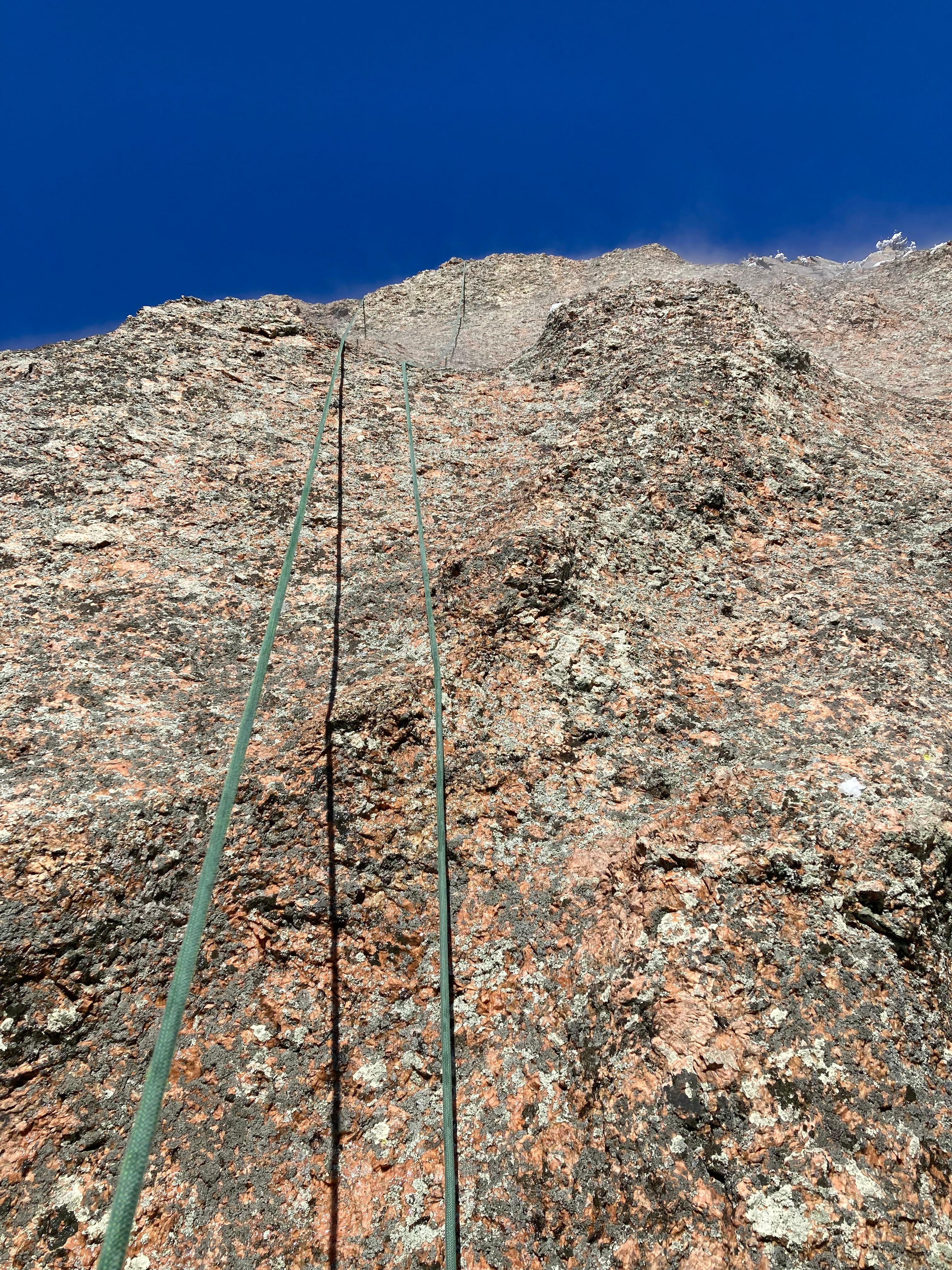
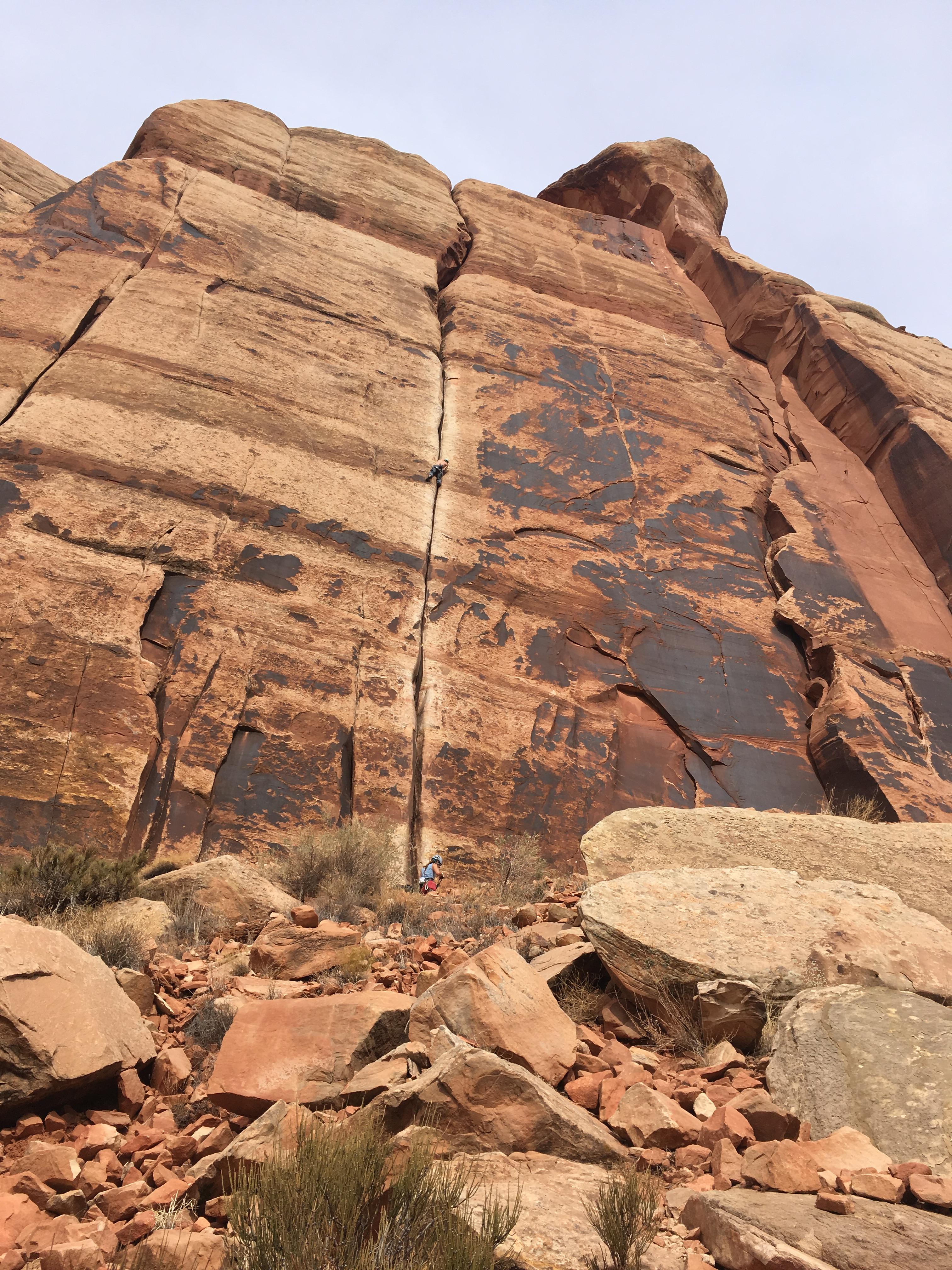
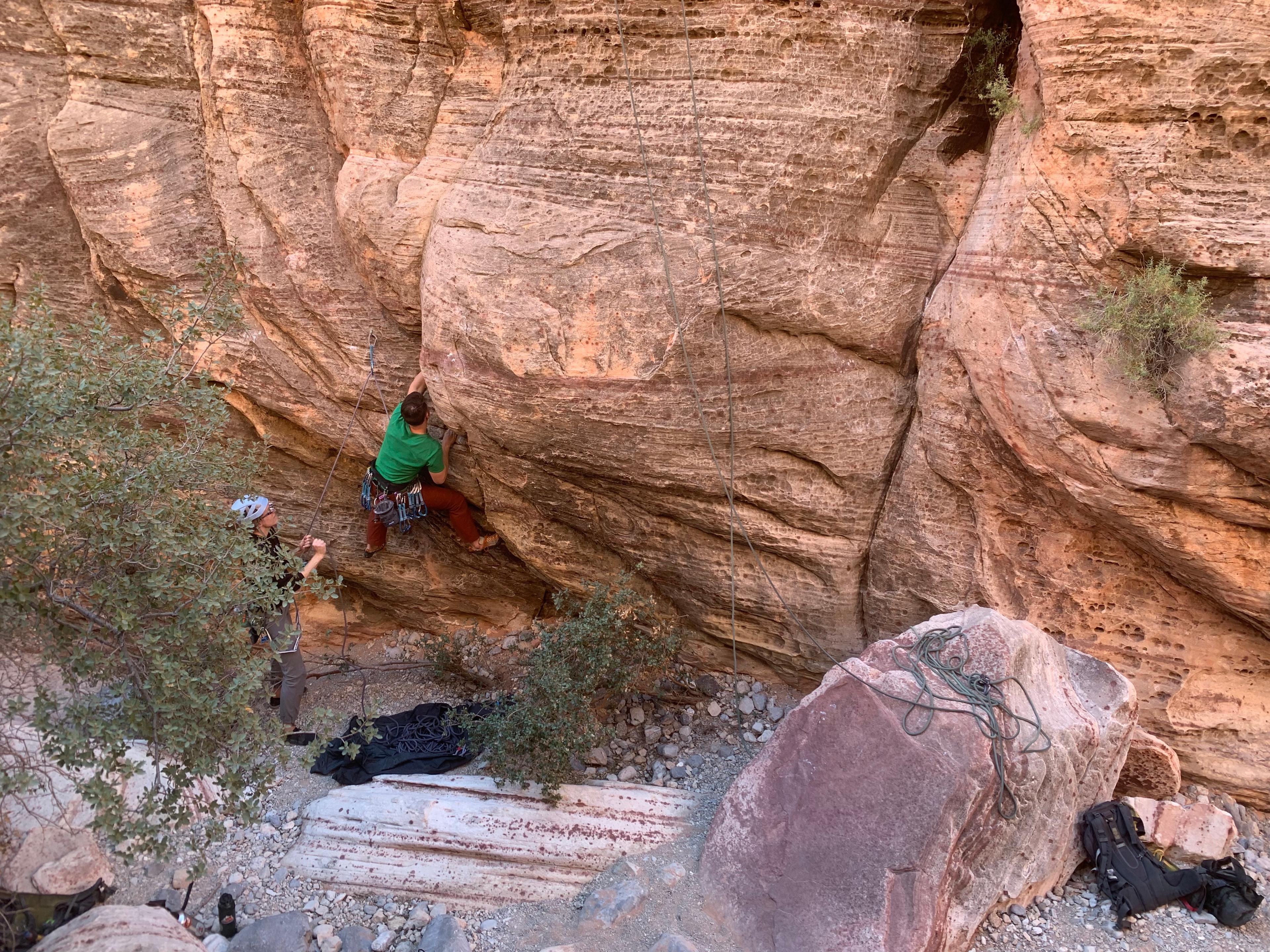
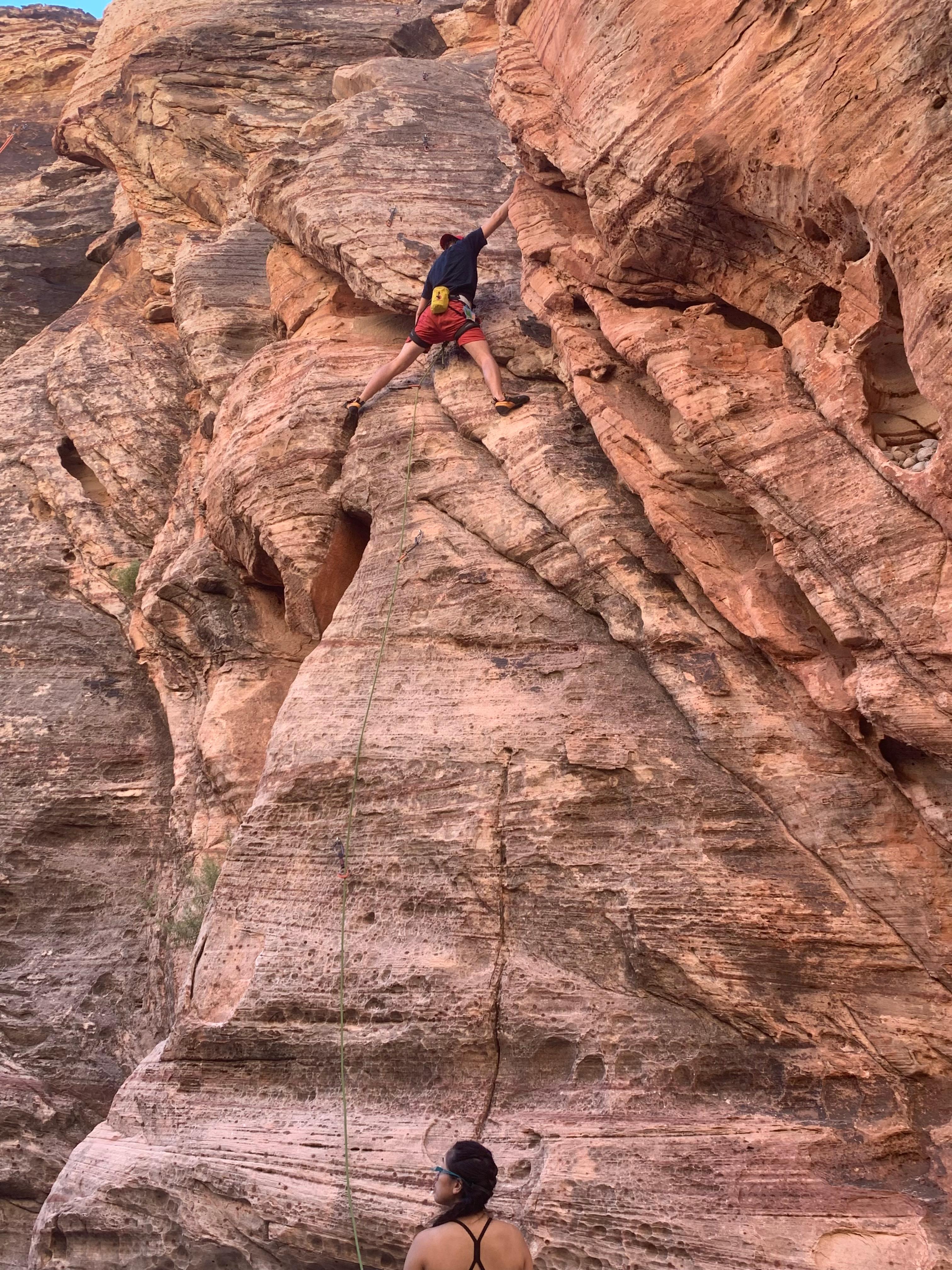
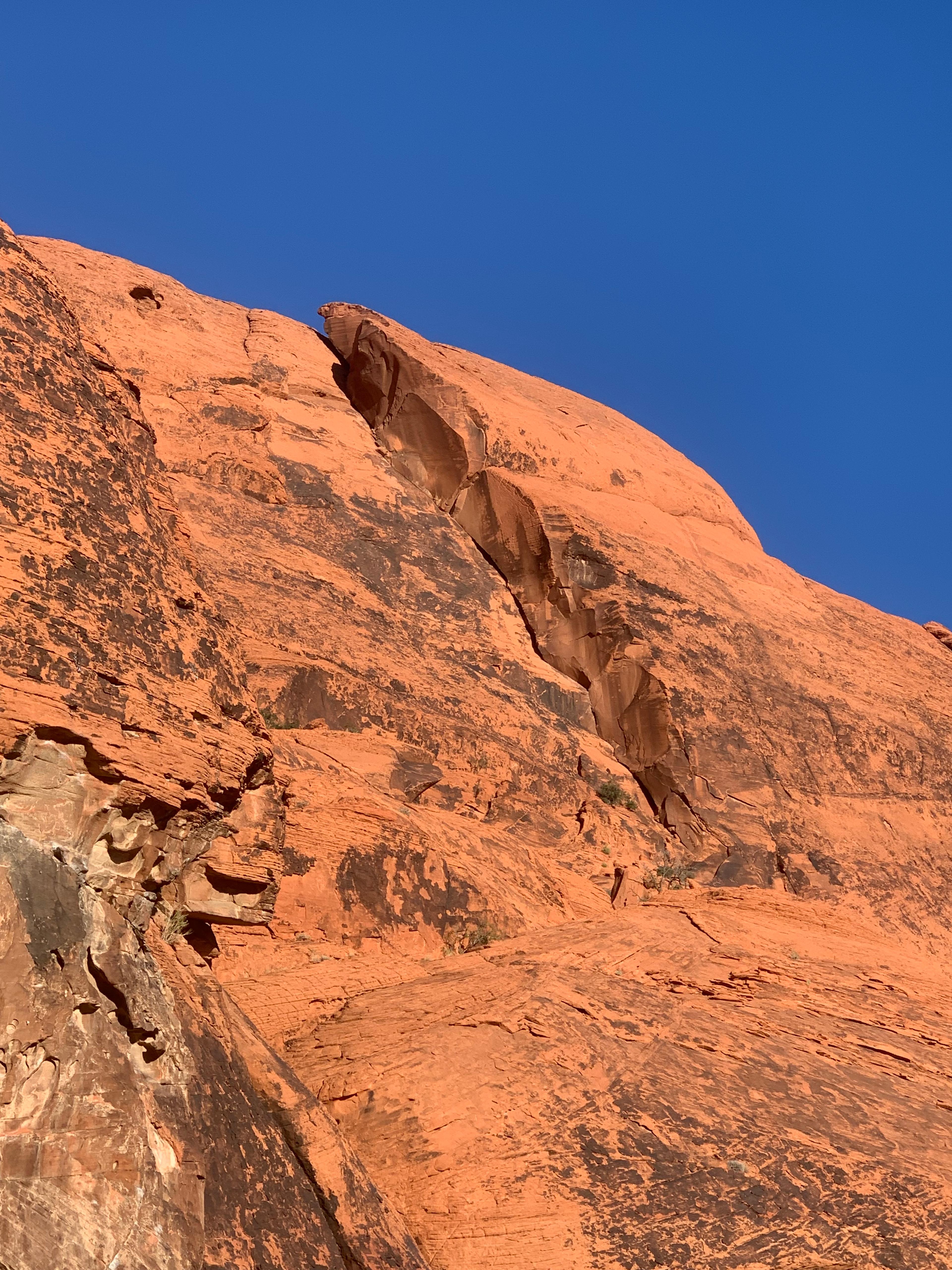
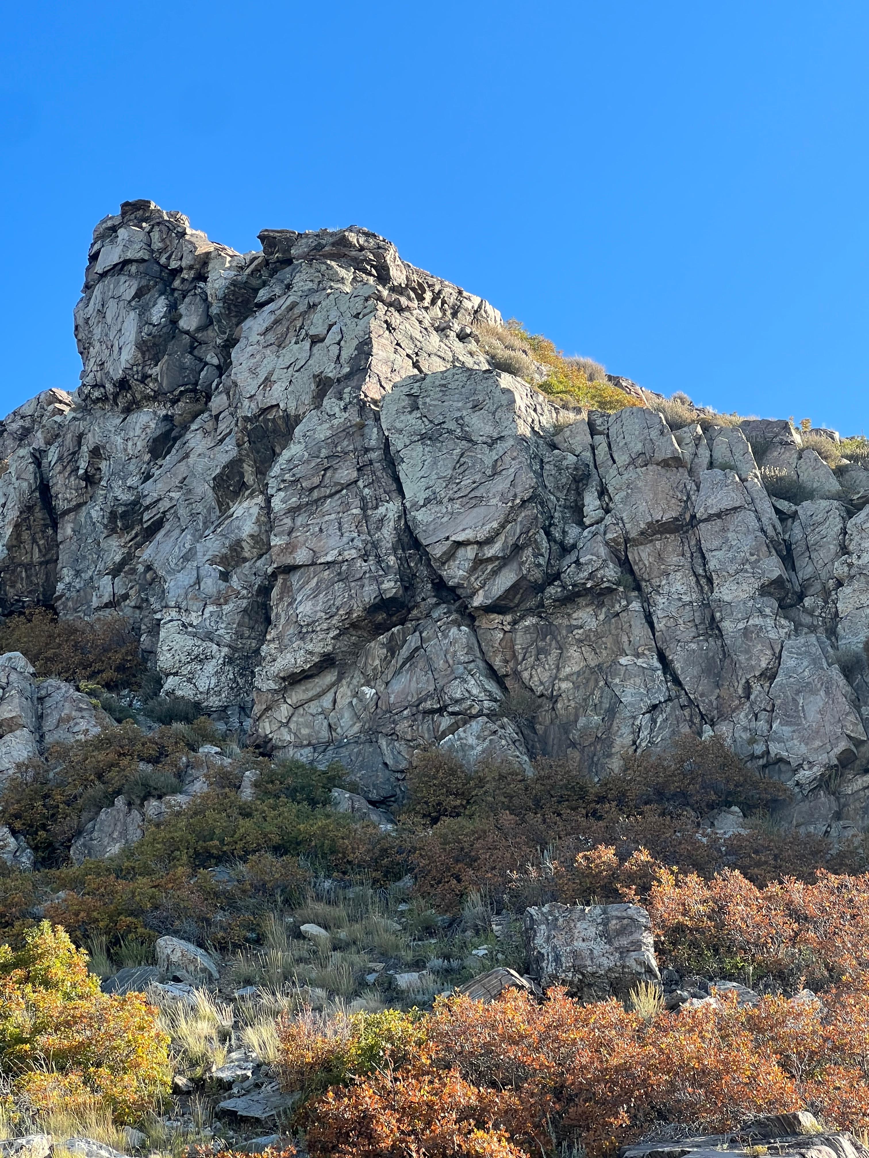
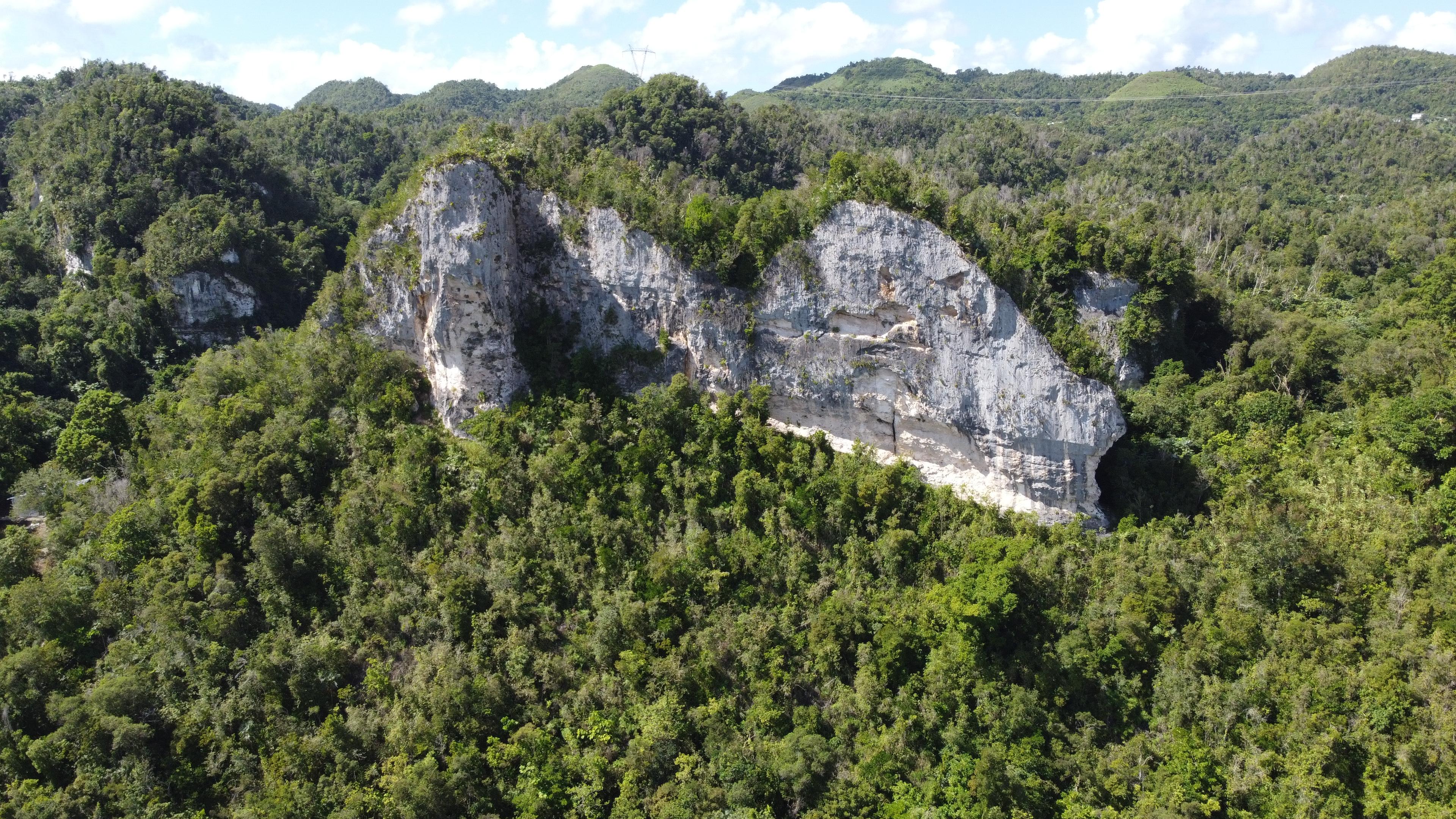
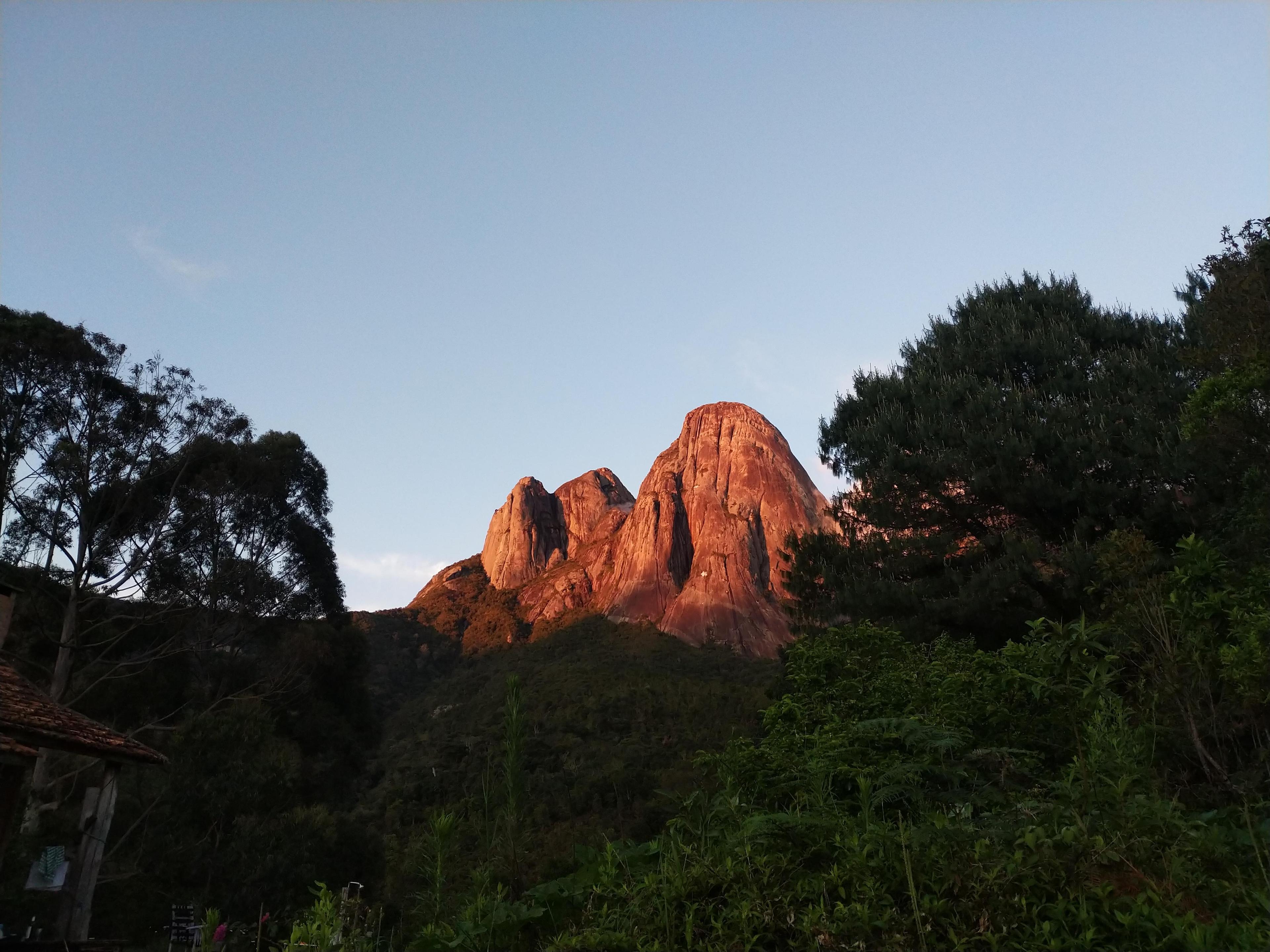
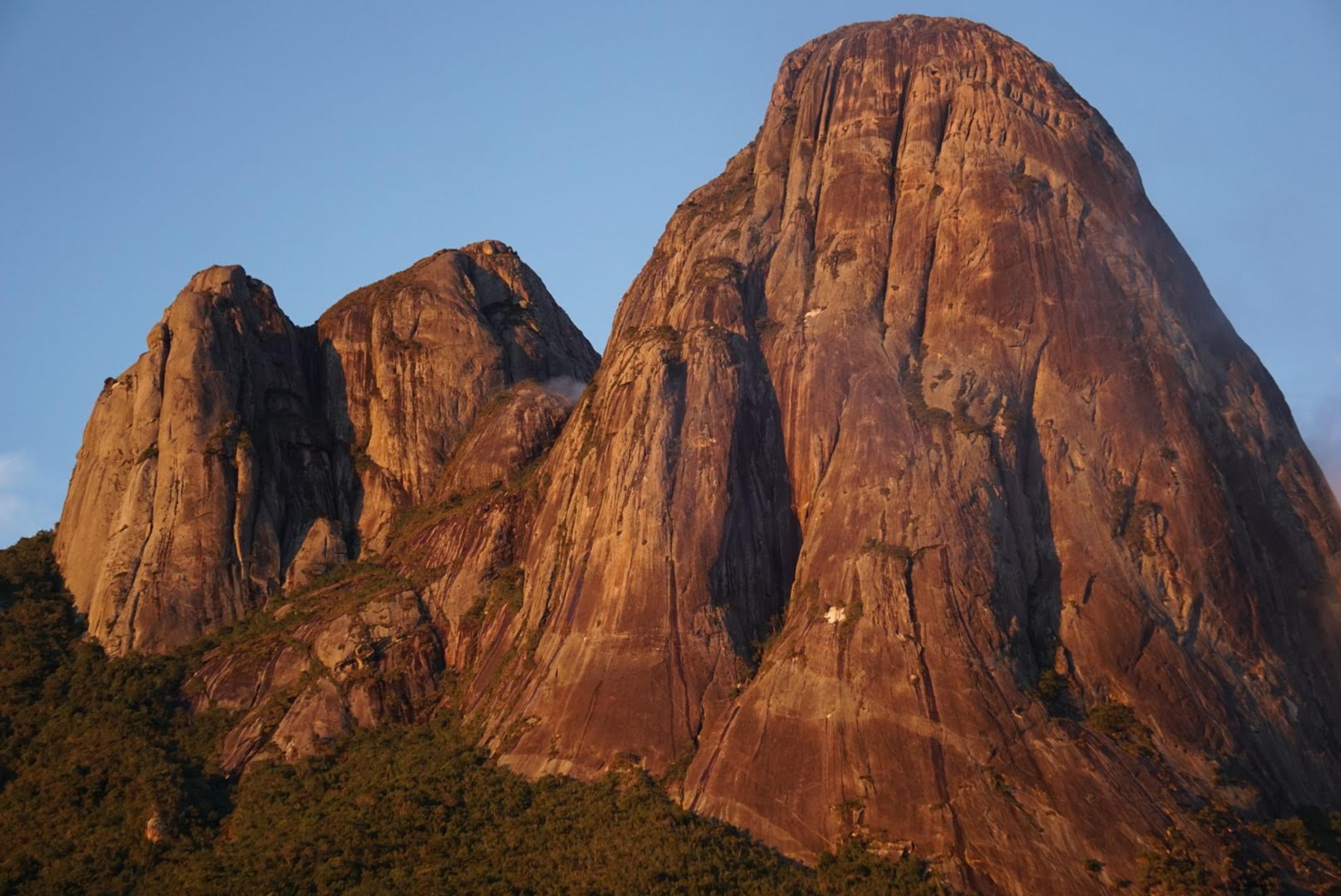
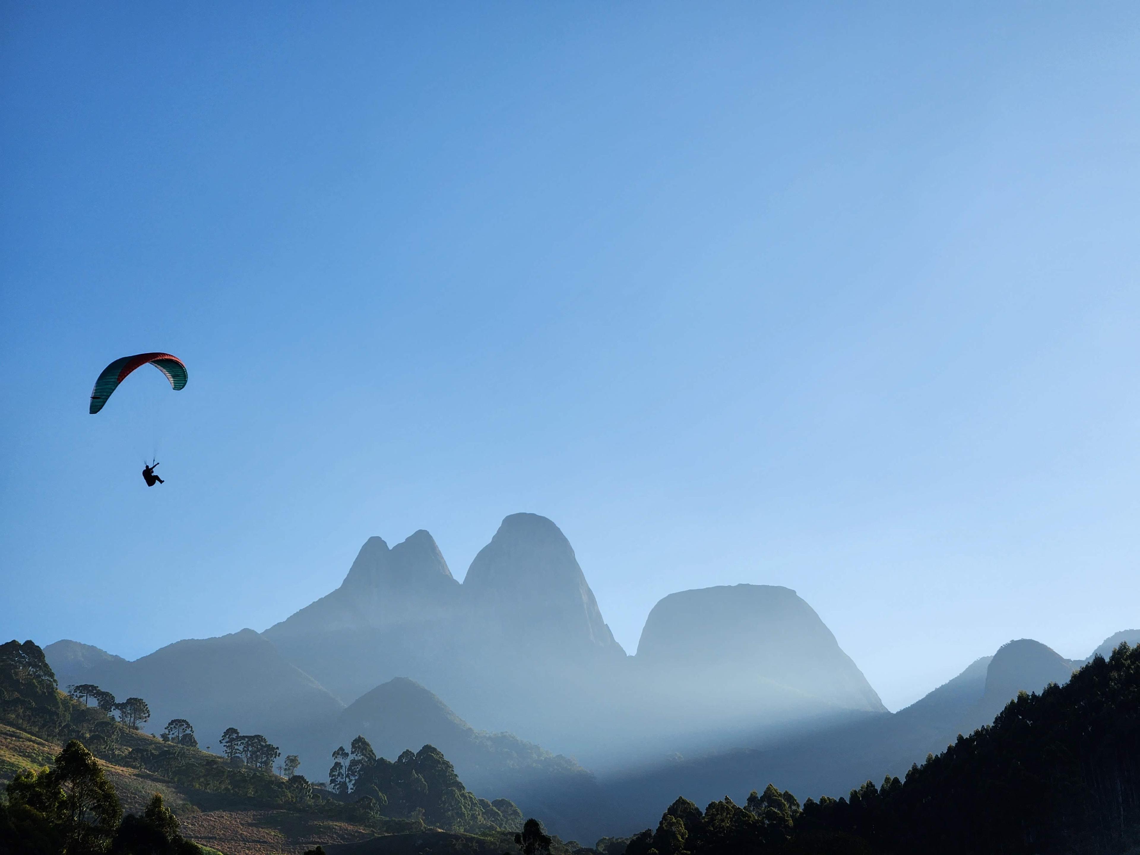
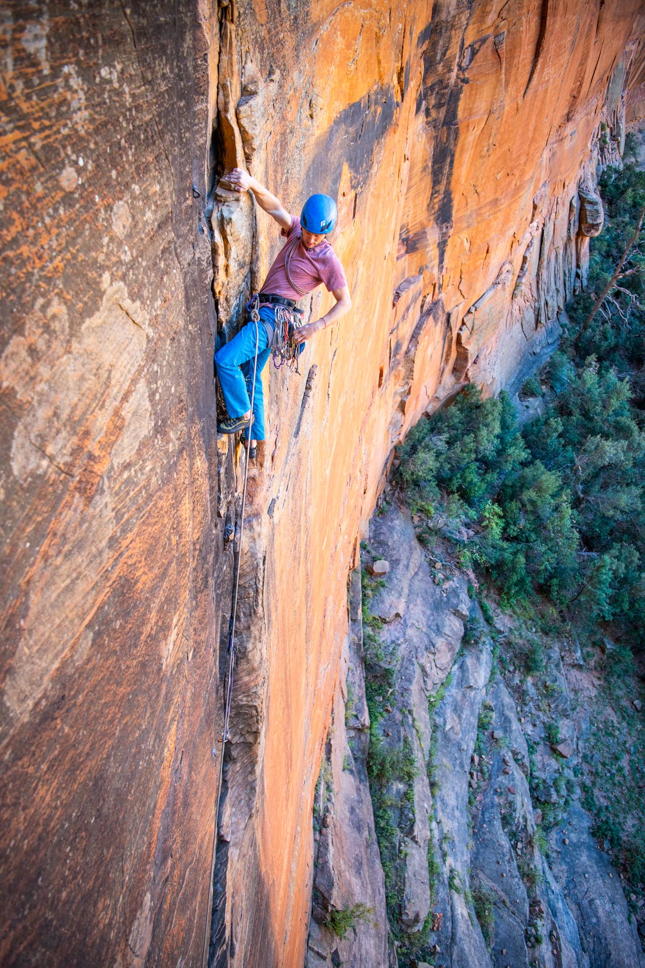
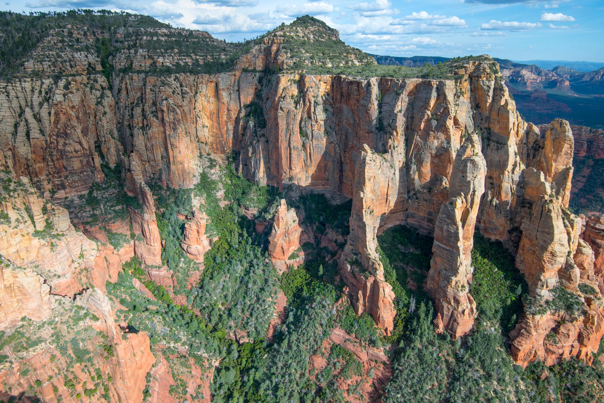
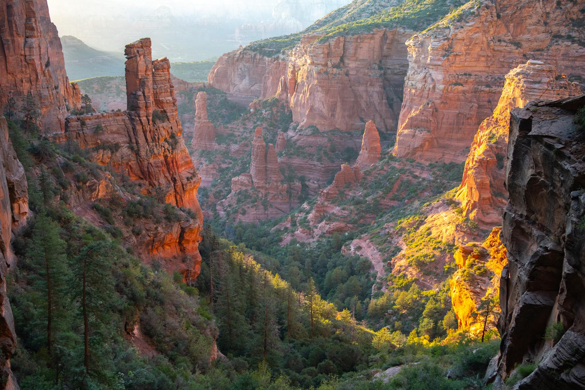
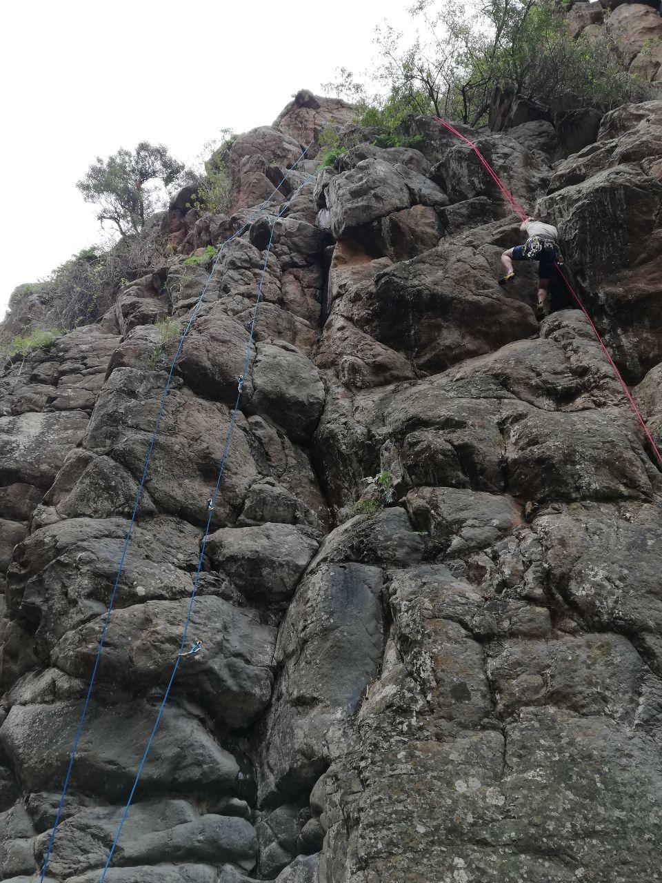
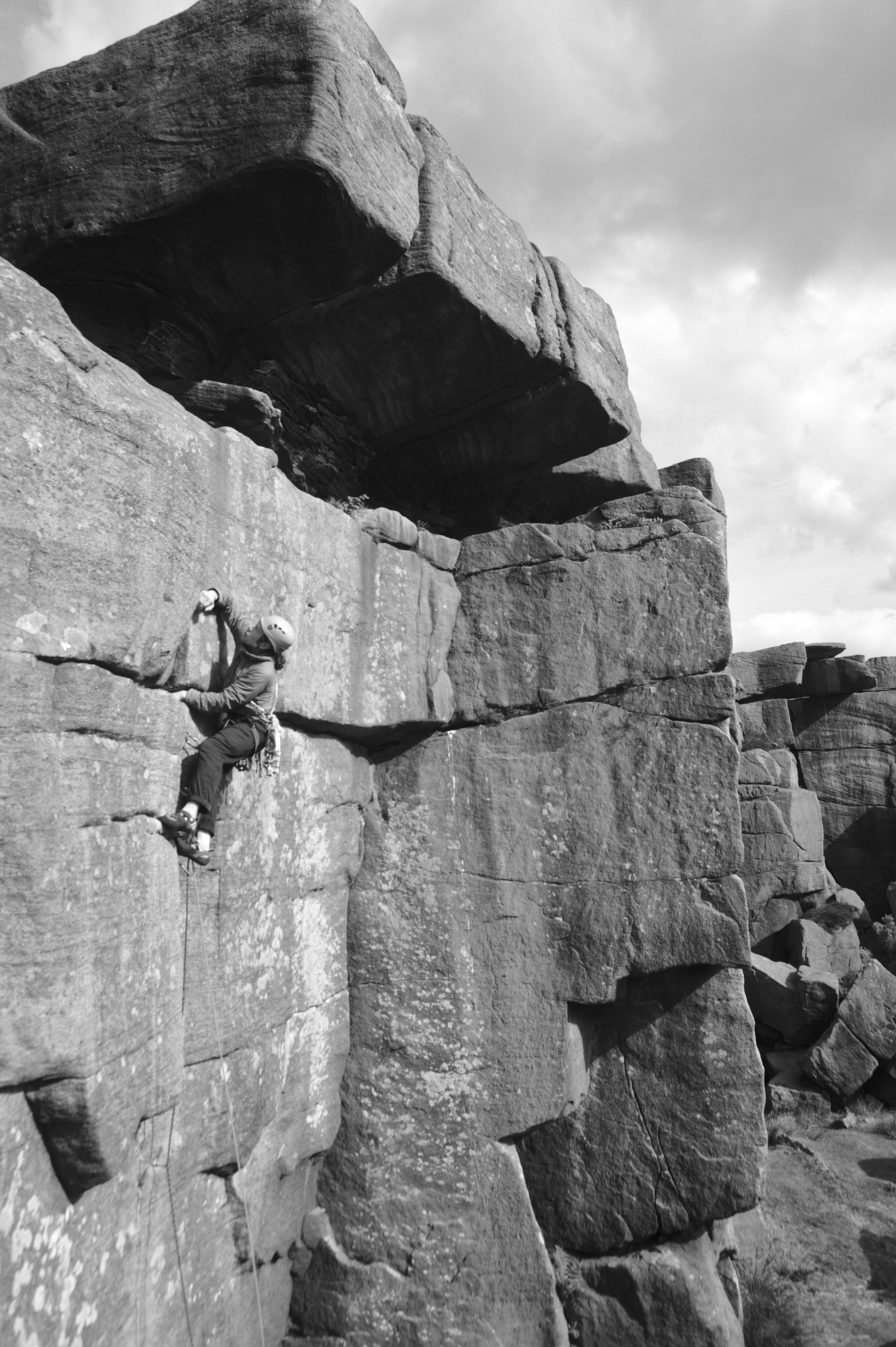
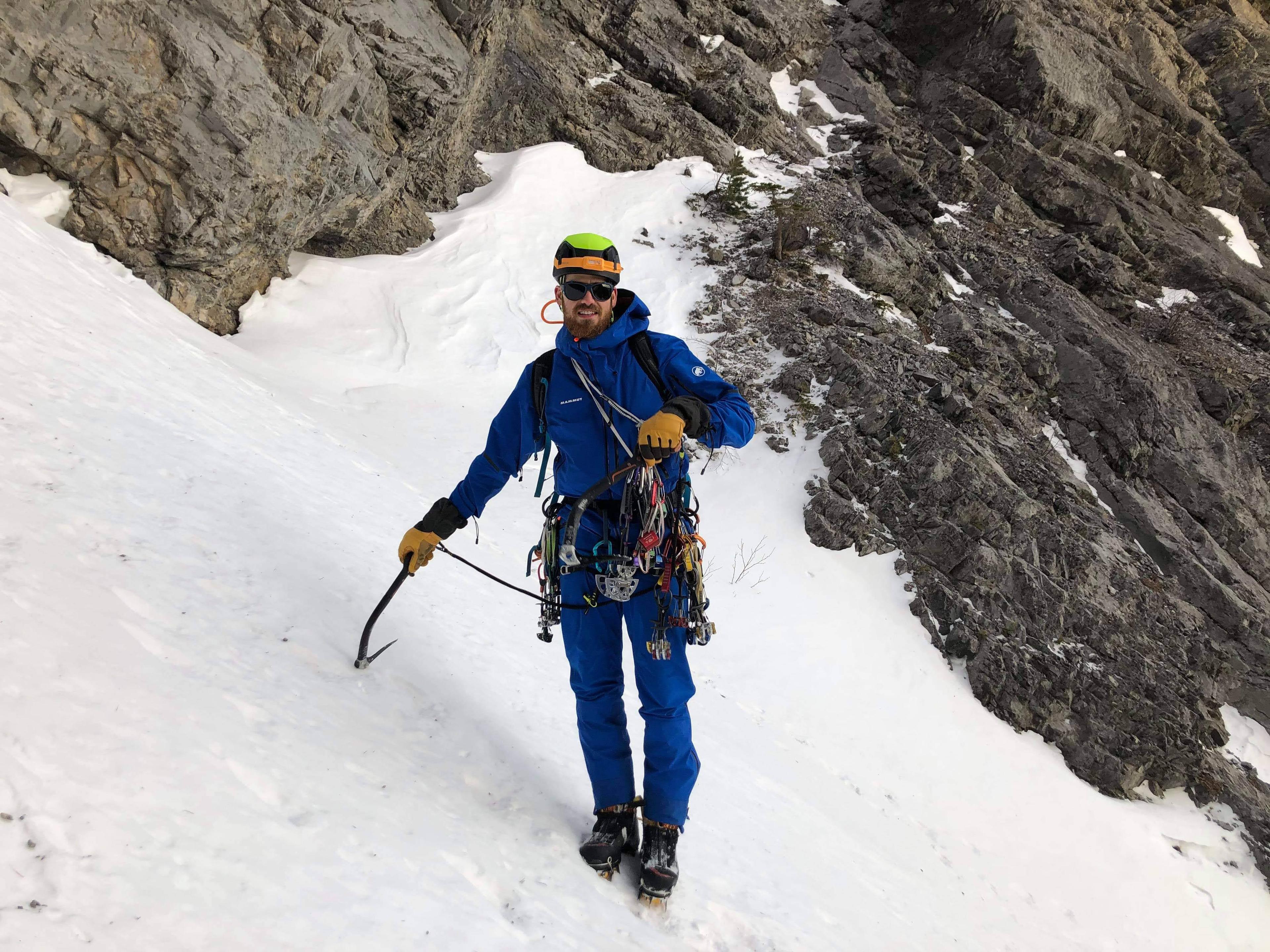
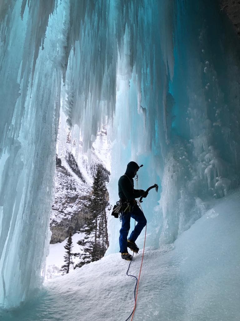
Latest Photos
International
USA
Arizona11,639
Mount Lemmon (Santa Catalina Mountains)Mount Lemmon (Catalina Highway)Queen Creek CanyonFlagstaff Area1 - Lower HighwaySedona Area7 - Upper HighwaySouth Mountain6 - Mid-Mountain2 - Bear CanyonEast StrongholdOak Creek CanyonSedonaHomestead, TheMt. Elden CragsSycamore CanyonLower Devil's CanyonGranite DellsMcDowell MountainsEquestrian Area (Closures in Effect)Jacks CanyonOak FlatMt. Elden Areas5 - Windy Ridge
California36,372
Bishop AreaCentral Joshua TreeBig Bear Lake AreaOwens River GorgeHidden Valley AreaTuolumne MeadowsSanta BarbaraBig Bear NorthVolcanic Tablelands (Happy/Sad Boulders)Indian CoveLost Horse AreaWonderland of RocksBig Bear City AreaApple Valley AreaRiverside AreaHolcomb Valley PinnaclesLone Pine AreaButtermilk CountryHappy BouldersTramway, TheRunning Springs Area* Santa Barbara BoulderingCastle Rock AreaPine Creek CanyonJune Lake AreaAlabama HillsDonner/Truckee BoulderingLower Merced River CanyonEcho Rock AreaSheep Pass AreaNew Jack CityValley North SideDonner SummitHidden Valley Area BoulderingBowman/EmeraldsHwy 33/OjaiIndian Cove CampgroundWonderland NorthValley South SideCentral Joshua Tree BoulderingSuicide RockMount WoodsonShuteye RidgeReal Hidden ValleyQueen Valley AreaFairview MountainPinnacles National ParkAlabama Hills NorthSouth ShoreStoney PointMount RubidouxLake Arrowhead AreaSherwin Plateau* Castle Rock Area BoulderingButtermilks MainRock CreekCentral GorgeMount St. HelenaWonderland SouthSan Diego County Desert AreaCulp ValleyLake Arrowhead Pinnacles* June Lake BoulderingUpper GorgeInner GorgeSad BouldersEmeralds, TheBig Bear SouthRattlesnake CanyonEl Cajon MountainWest ShoreTahquitz RockBishop PeakLake Ramona
Colorado30,050
BoulderUnaweep CanyonNine Mile HillNine Mile BoulderingGoldenBoulder CanyonCanon CityFlatironsClear Creek CanyonEldorado Canyon State ParkShelf RoadPoudre CanyonMorrison/Evergreen/LittletonIndependence PassLyonsSt. Vrain CanyonsMecca Boulder AreaDevil's HeadNorthCastlewood Canyon SPRMNP - RockBig Thompson CanyonNorth Table Mountain/Golden CliffsSouth Fork of St. Vrain CanyonRifleWest of RusticRifle Mountain ParkMain Canyon: Unaweep GraniteSouthAlderfer/Three Sisters ParkLumpy RidgeBank, TheNarrows, TheFlagstaffRedgarden WallHorsetooth ReservoirStaunton State ParkElevenmile CanyonCentralWest CreekWest Ridge, TheGoose Creek/Molly Gulch CampgroundPink Floyd AreaGlenwood CanyonBlue Moon Boulder AreaHartman RocksBuffalo CreekMorrison BouldersSailing HawksColorado National Monument
Utah15,759
Central WasatchLittle Cottonwood CanyonIndian CreekBig Cottonwood CanyonBoulders - Little CottonwoodMaple CanyonJoe's ValleyRock CanyonOgdenPotash RoadMaple Canyon RoadMoe's ValleyRight ForkLogan CanyonJungle, on the Aquarius PlateauEastern Reef Area.. AKA The Sandstone AlpsBig Water BouldersRight Fork
Financial Contributors
Total: $2,649.80Adelore Lessard
Rafael Kennedy
Incognito
Clinton Lunn
Colin
Phillip Kamps
Alex Mandrila
Luke Nowicki
Glenn 'devalias' Grant
chris blatchley
EarthAdam
Guest
Molly
Nadeen
Guest
Jordan Laramie
nm
Dane Shea
Kao
Jesse Scarborough
Ethan Karlinsey
Incognito
Tina Dinh
Guest
Guest
Volunteers
Total: 80As an open source project, OpenBeta's success is thanks to a diverse group of volunteer contributors, many of whom are not even rock climbers. We deeply appreciate their vital role in shaping OpenBeta.

Manuel Salgado

Dom Klip

Melissa Thai

Ahamed Athhar

Heliodor Jalba

Blake McCord

Isaac Alonso

ShravaniRoy

Henry Aviles

Ali Muhammad

robbyriley15

Calvin Cheng

Iacami Gevaerd

Syed Irfan Faraz

Sarthak Kumar Shailendra

MiloudB

Andrew Pritchett

Sam Sikora

draykhlin

Bader Kanawati

SidV2

Shyam Tawli

Ali Haider

DavidW

Josh Zimmerman

Giri Madhan

Thomas Johnson

Joe Oliver

Shubham Jadhav

Colb131

Dane Shea

Yun Ji

Uri Berman

Nathan Musoke

zkao

daniel-n-kaye

Zac Holland

Ramez Salman

vcbenj

Scott Hoecker

KunalVerma2468

Junaid

Parth Parolekar

ted

Evan Noronha

Kittipong

Chris Morin

Ilya Shaplyko

Matthew D'Souza

Leonardo Montini

Kellen Busby

Marcos A Rosas

Siman Shrestha

Jetse Verschuren

Prajwal

Daniel

BeaulieuC

Denis Lantsman

alex

admanny

Brendan Downing

xavier-kong

Osaf

Kevin

Jacob Struzik

umaxyon

Kurk Villanueva

Colin Gale

tittaenalg

Nate Hearnsberger

MichaelDimmitt

Clinton Lunn

Gal Weinstock

Kendra Gibbons

Yannick Gingras

rytheranderson

Kevin Nadro

on3iropolos

Greg Hughes

Viet Nguyen