
McDowell Mountains
LAT,LNG 33.68518, -111.80213
CREATED
UPDATED BY v2_in_my_gym
Description
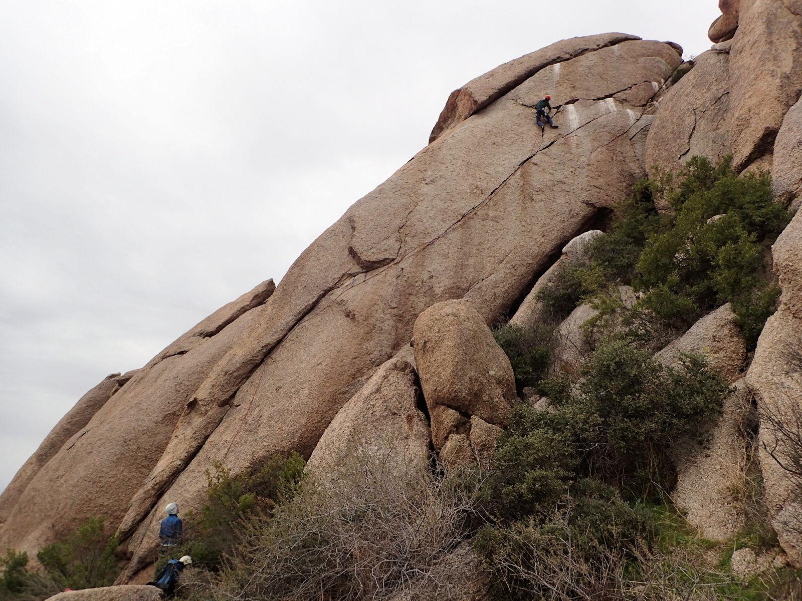
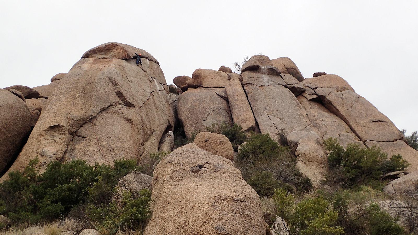
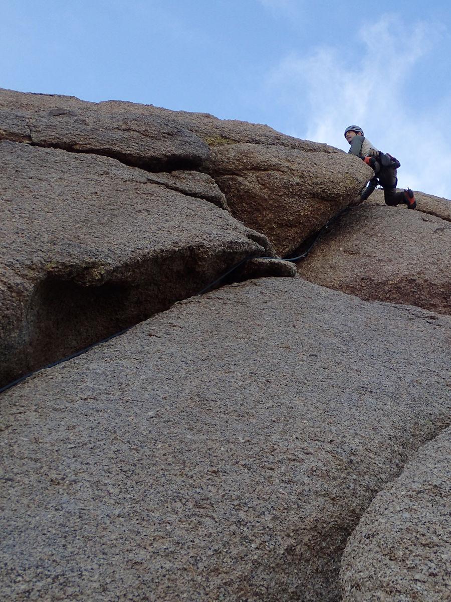
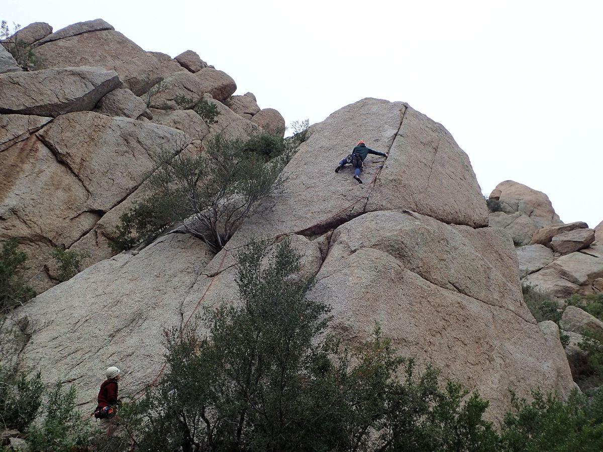
[Edit]The McDowell Mountains have many formations of rough sharp granite with both trad climbs and bolted slab climbs. The quality of climbing and the approach time varies quite a bit depending on which crag you are visiting.
Local climbing organizations
[Learn more]Arizona Mountaineering Club
Central Arizona Bolt Replacement Program