Add photo
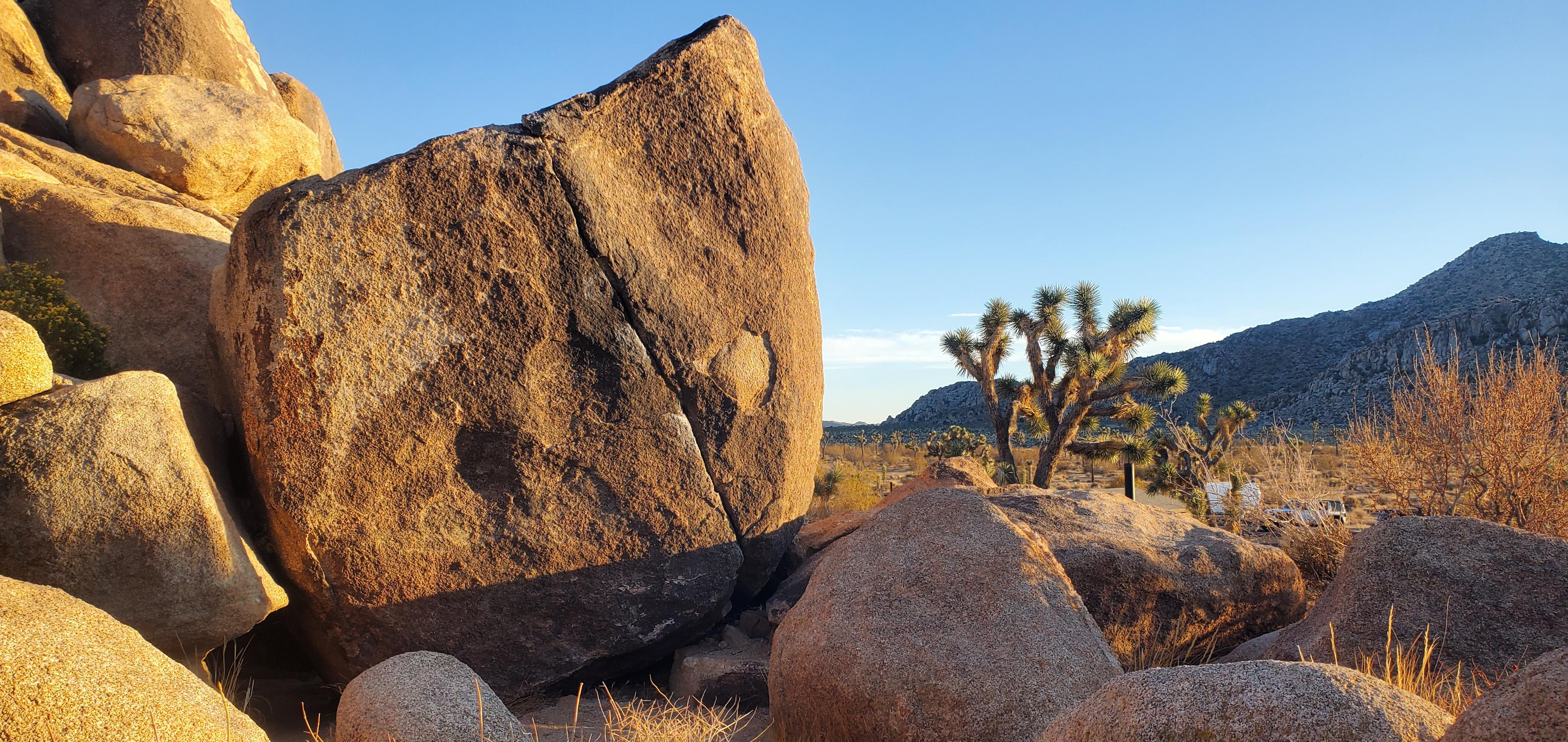
Trashcan Rock Area
LAT,LNG 34.03790, -116.19768
CREATED
UPDATED BY theoretical_gray_condor
Description
[Edit]No information available. Be the first to add a description
Local climbing organizations
[Learn more]Friends of Joshua Tree
Friends of Joshua Tree