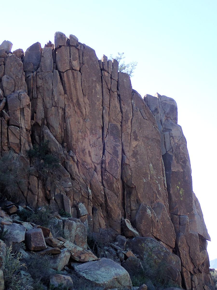
Upper Taint
LAT,LNG 33.80666, -111.46575
CREATED
UPDATED BY pseudalpine
Description
[Edit]Diminutive forty-five-foot, northeast-facing, superior granite wall located upstream of The Colony. Routes were discovered and climbed when motorcycle approaching the upper Boulder Mountain crags.
Location: Three quarters of a mile upstream in an eastern tributary of Sycamore Creek or about one mile above the Man Knees Wall. The easiest approach is to hike (or a more difficult motorcycle ride of) the Pipeline trail from Round Valley. It's less than a two-mile track and the cliff is easily accessed from the north side of the old, rough road. There's a small tank southwest of the distinct pull out.
Location
[Edit]No information available. Be the first to add a location
Local climbing organizations
[Learn more]Central Arizona Bolt Replacement Program
