
Humbugs
Description
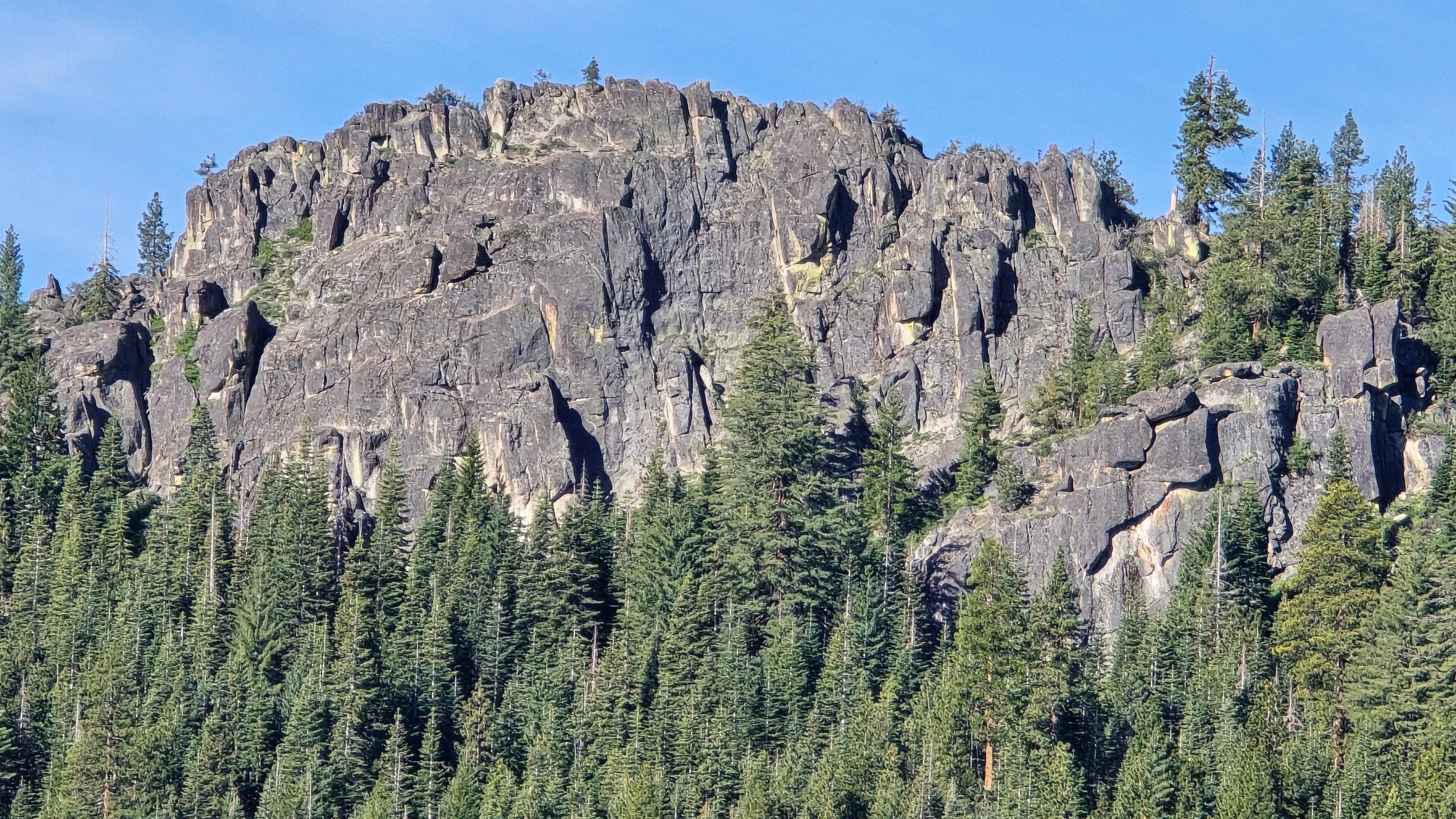
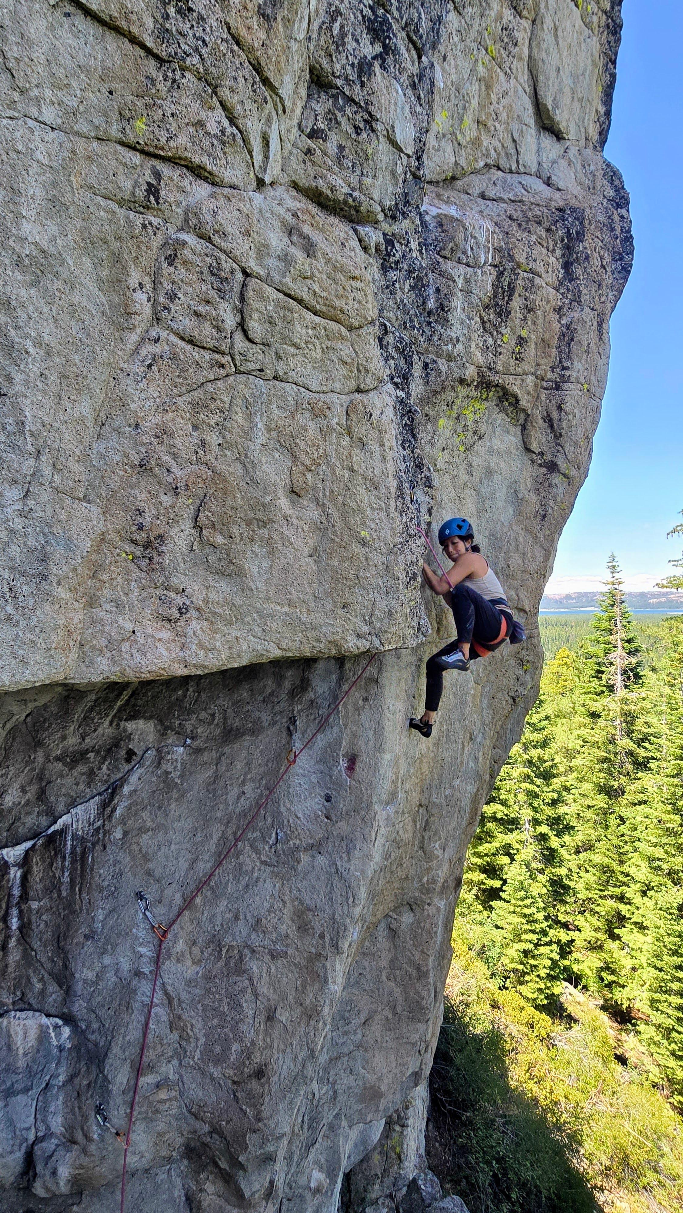
[Edit]Nearly 25 mostly sport routes ascend solid volcanic spires and walls just southwest of Lake Davis. routes range from 5.10- to 5.12b.
These rock formations are visible on your left driving up the Lake Davis Rd. from Portola to Lake Davis. To get to the trailhead, continue up until Lake Davis Rd. flattens and reaches a juntion. The main road curves right. Turn left here heading around the west side of the reservoir. Not even a minute after turning turn left again at the first forest road (23N15Y). Continue straight on this main road until you reach a Y. Stay left and follow this main road to its end and park. The approach trail, continues in the same direction the road arrives. The trail heads slightly downhill, crosses the small Humbug Creek, and traverses upwards the mountside to the various different walls.
Local climbing organizations
[Learn more]No organizations found for this area.
Do you know a great local organization? Let us know