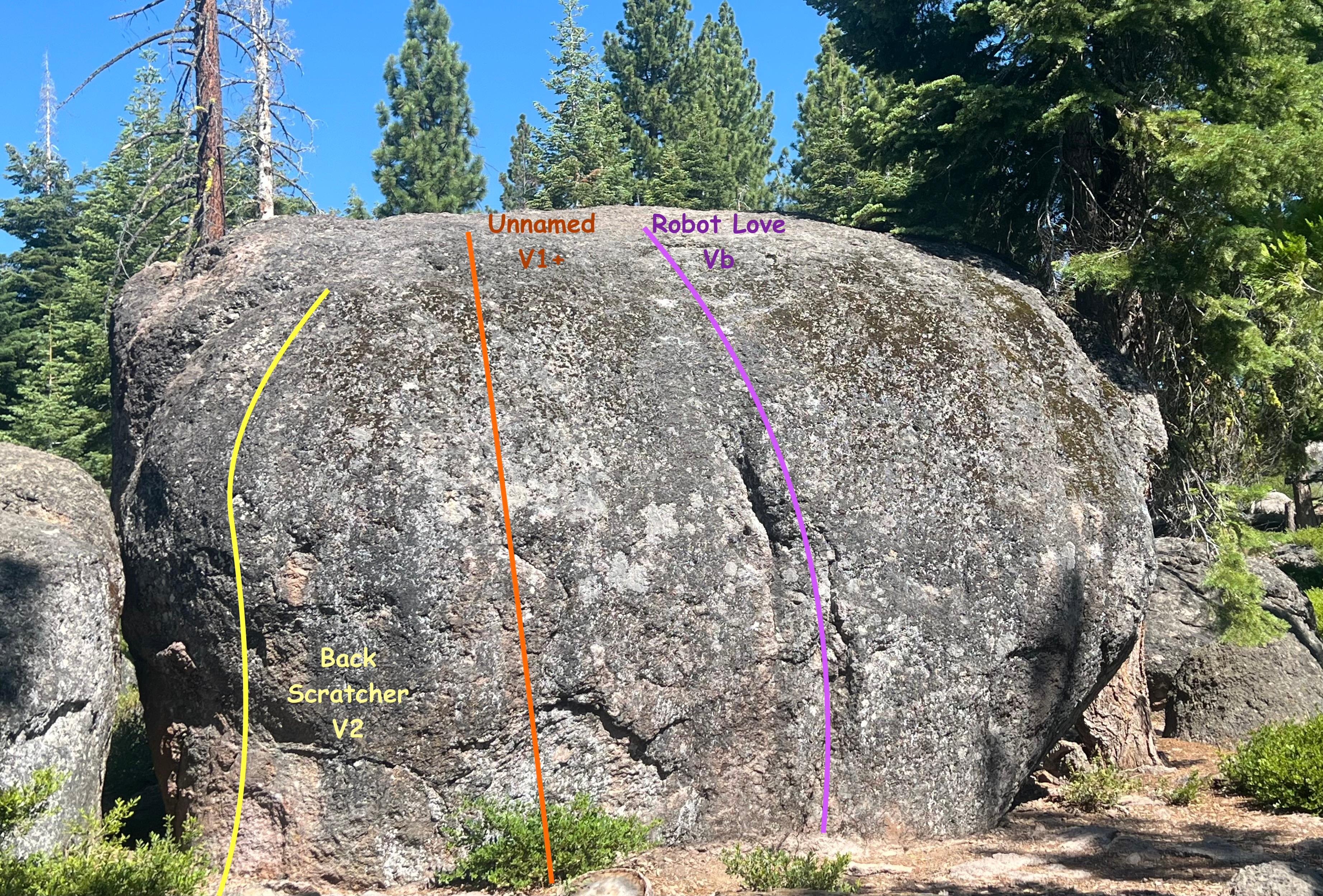
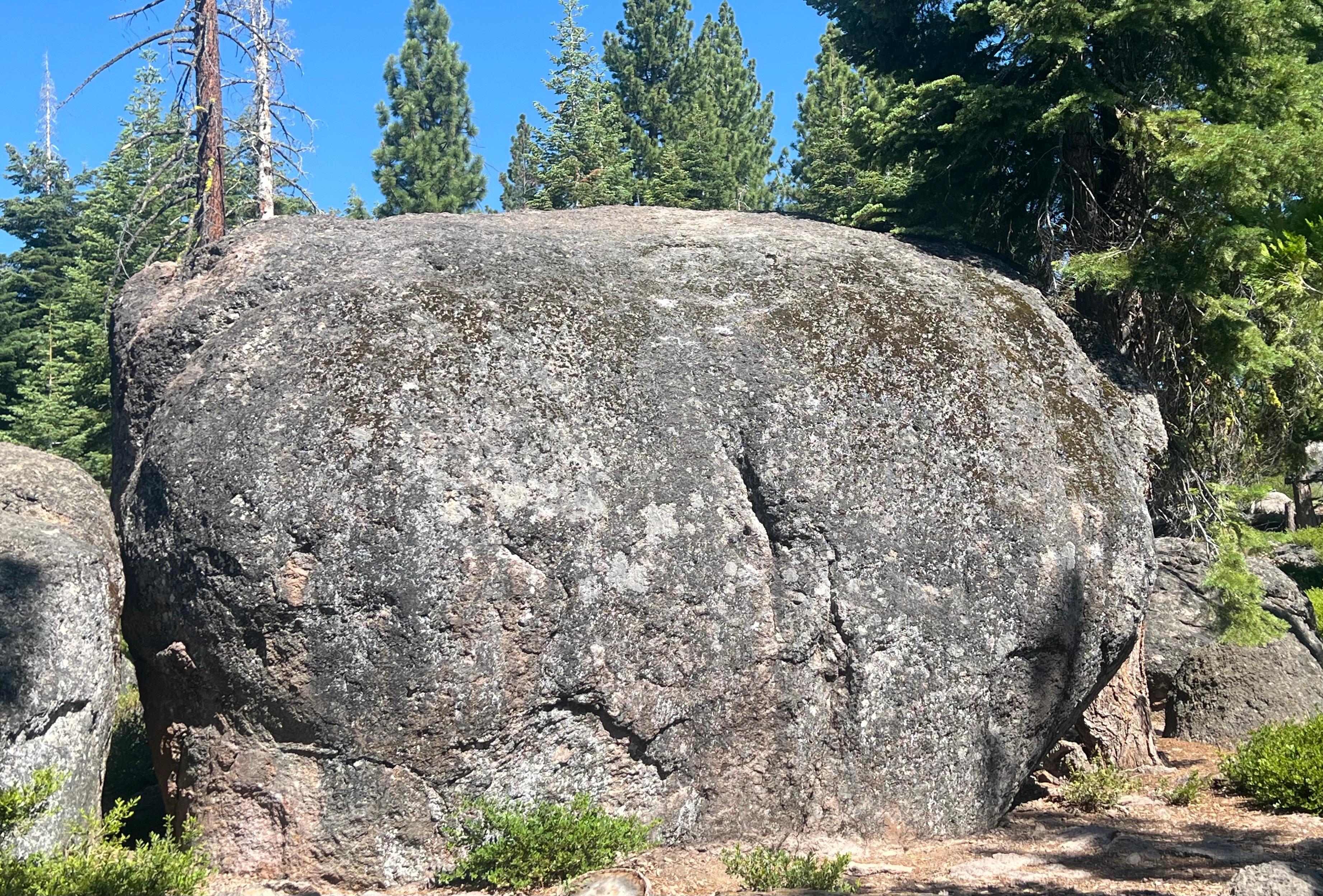
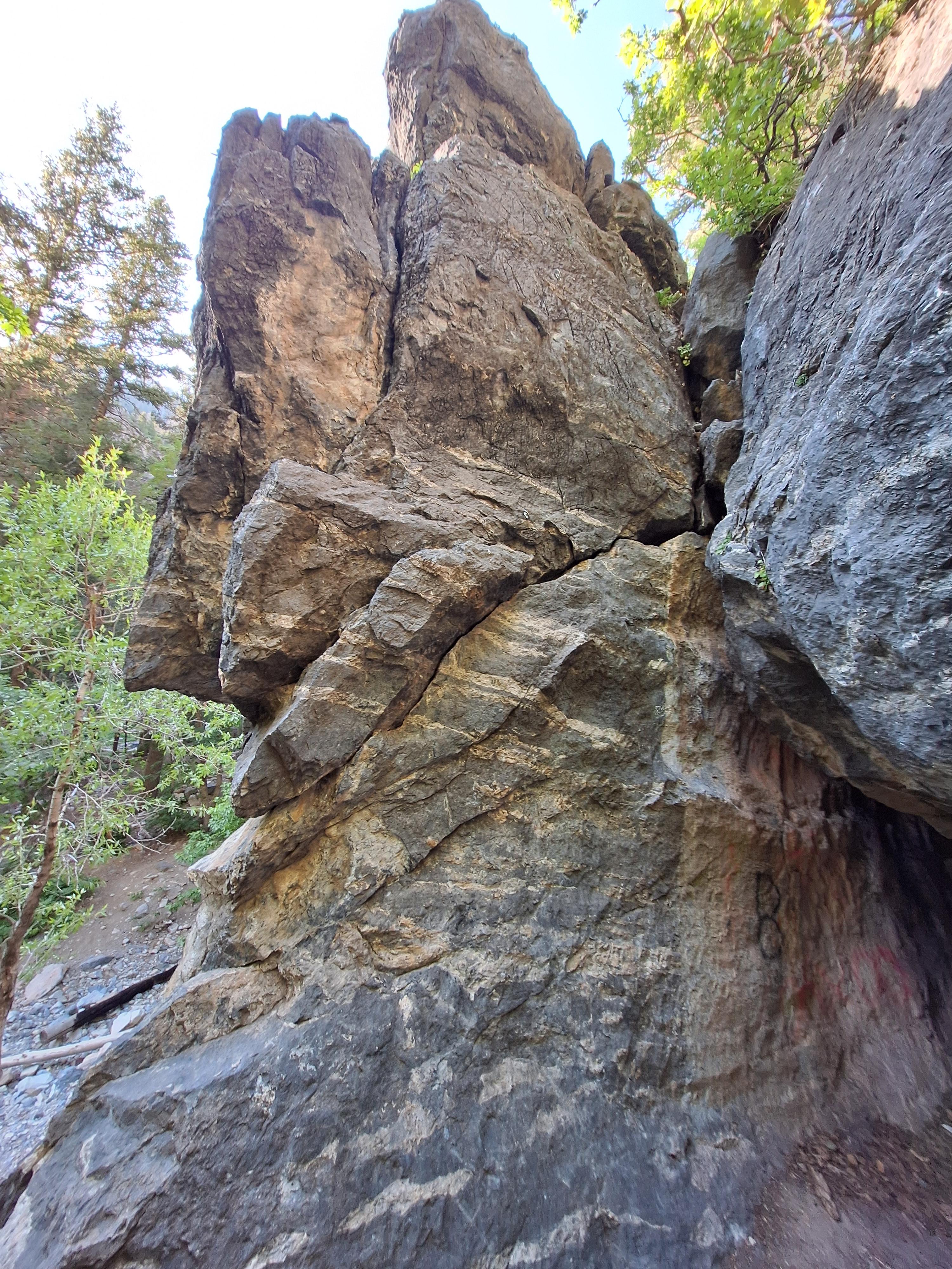
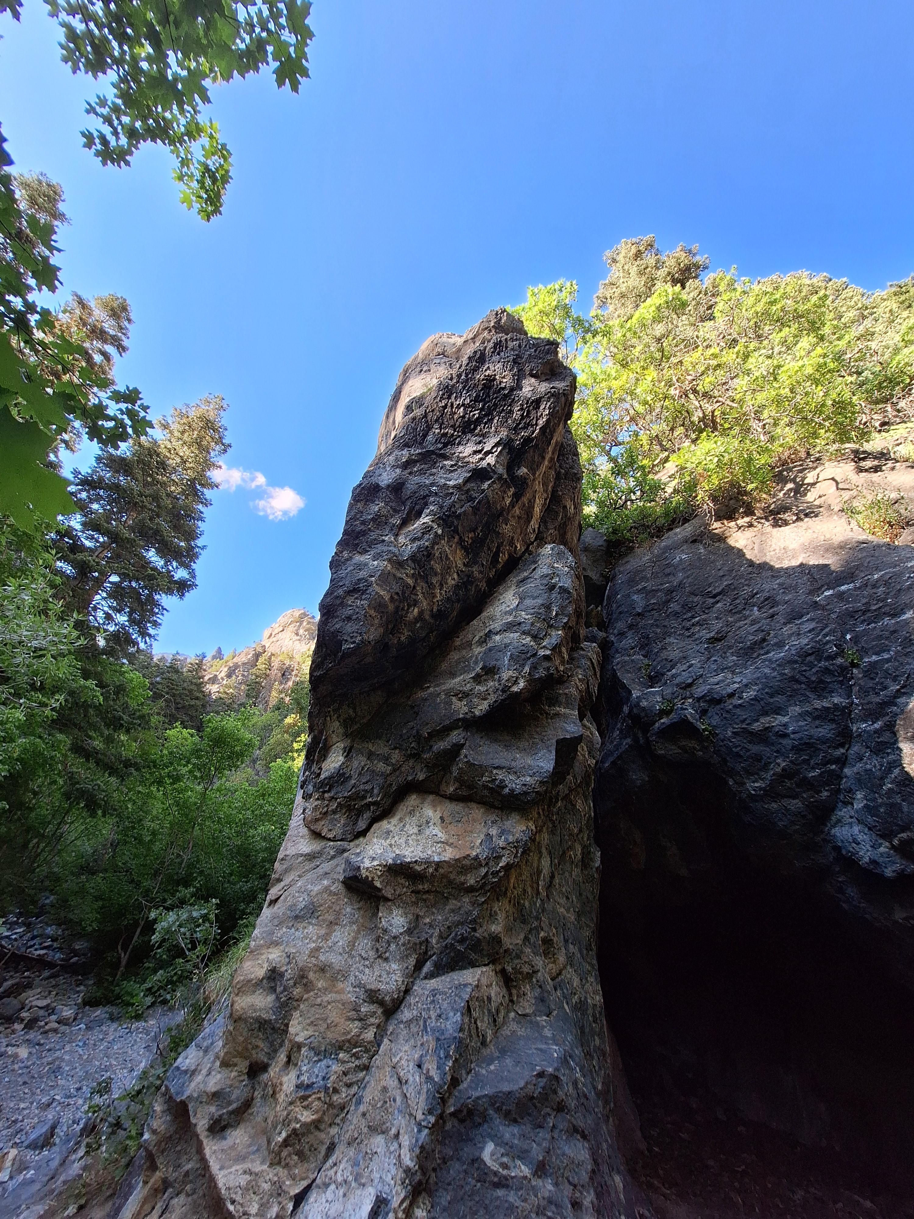
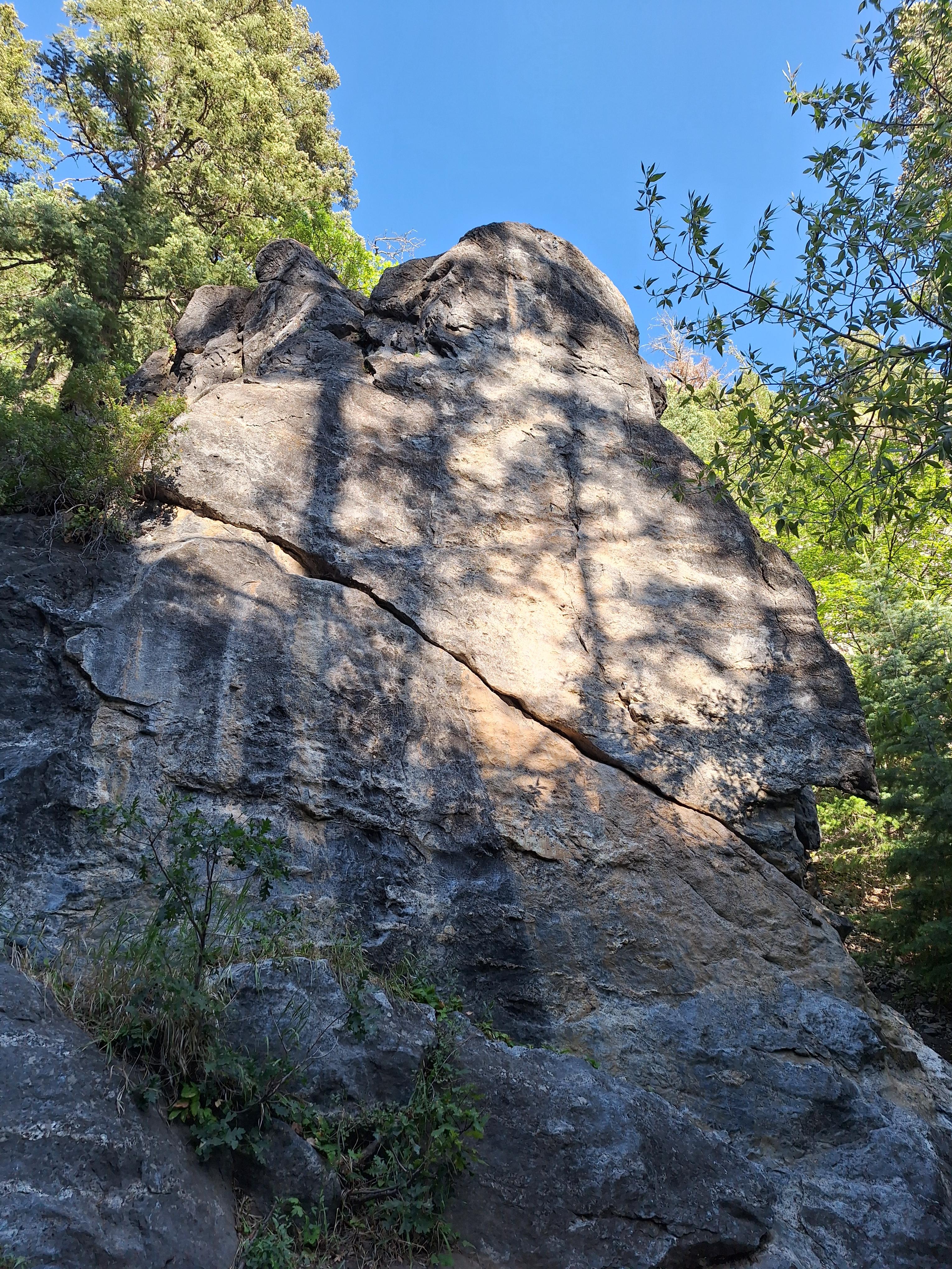
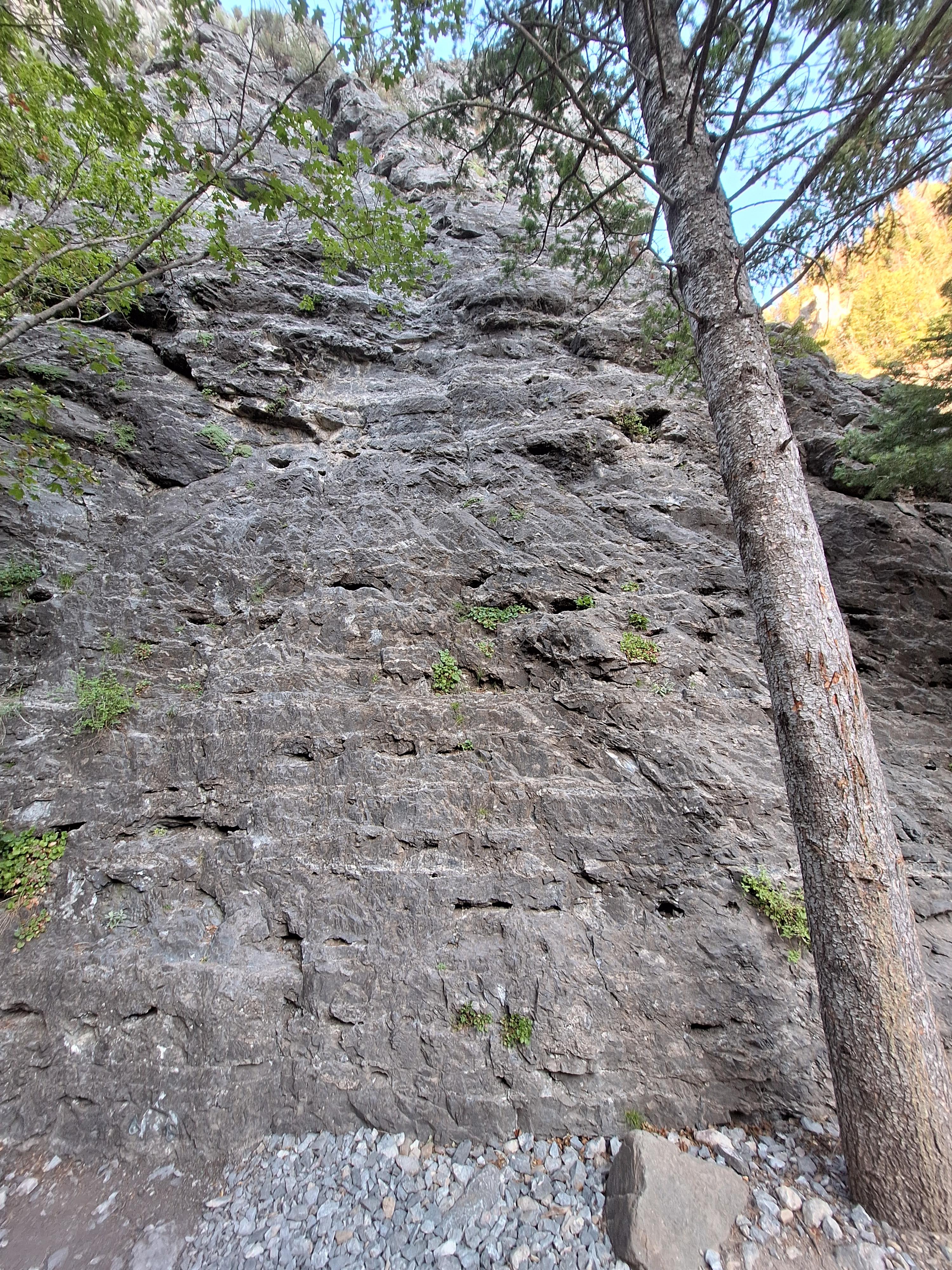
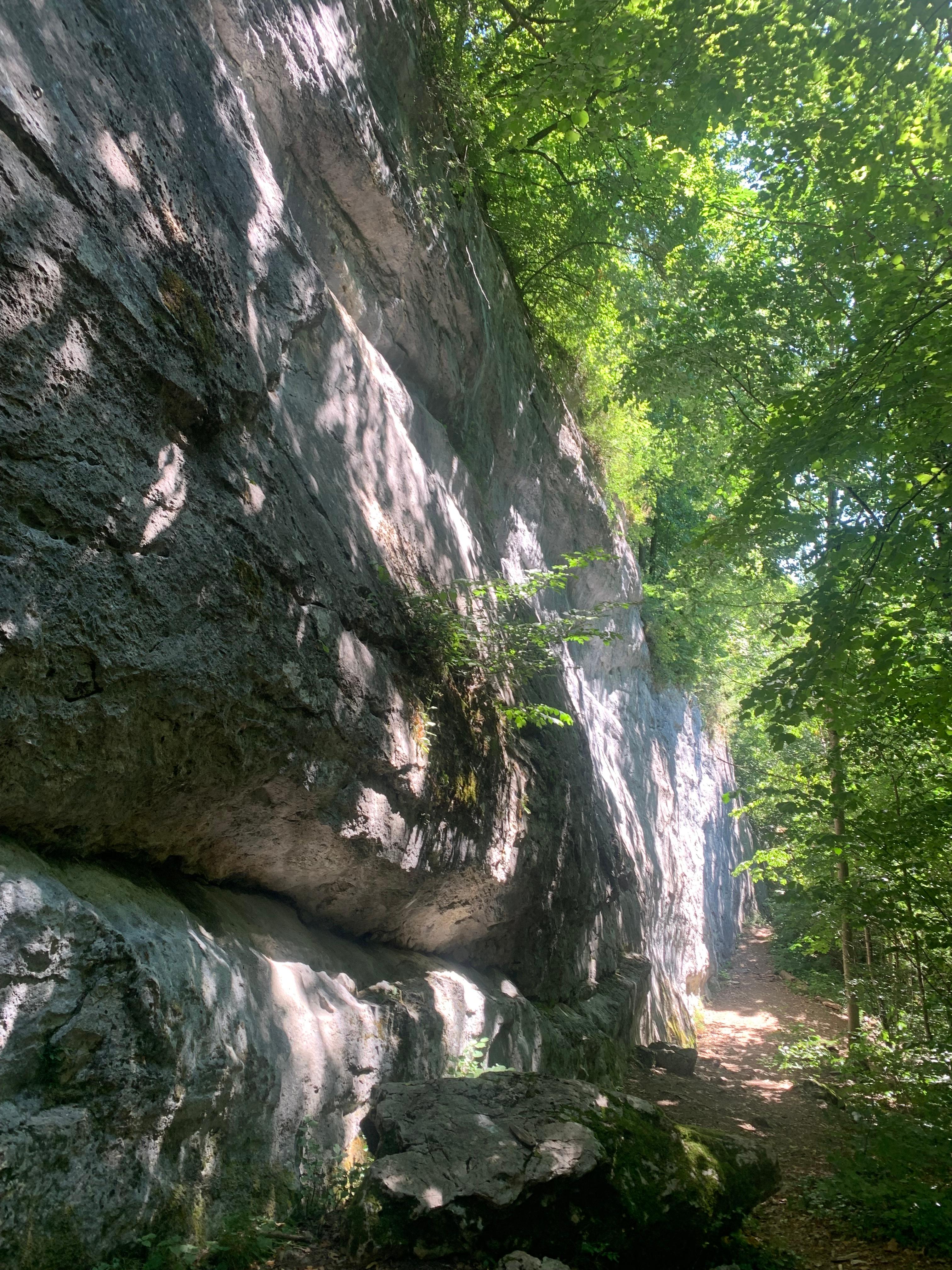
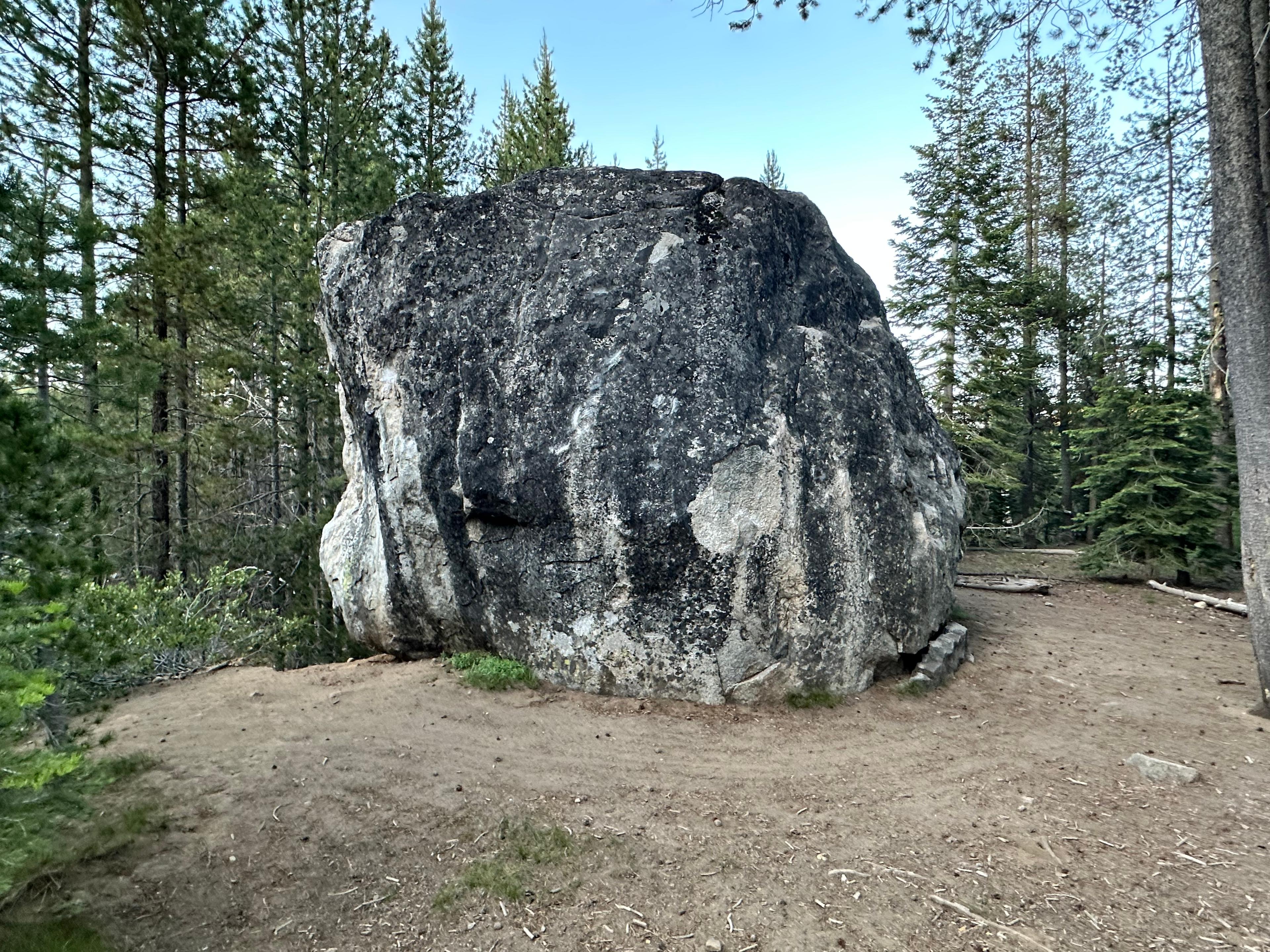
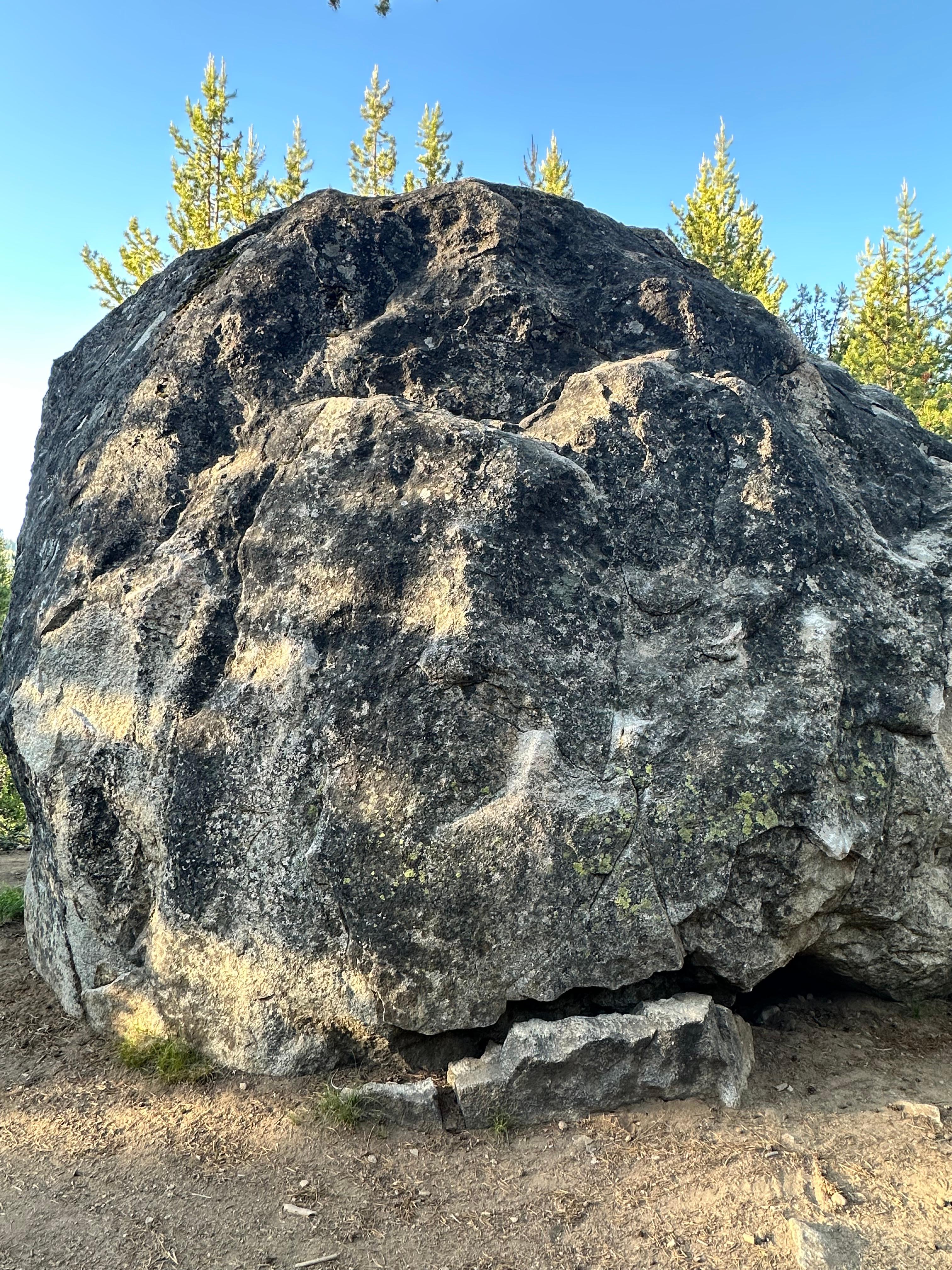
Share your climbing route knowledge!

Join us to help improve this comprehensive climbing resource for the community.

LATEST CONTRIBUTIONS

See more

B
bean
edited an area
3 days
Area
description -> "# Overview\n\nC-section is a nice long wall with a great spread of warm-ups and challenging routes for sport climbers. The wall faces south-west, so it will be shaded until about noon.\n\n# Access\n\nThe access trails to this area are not on Google Maps or the park maps, but some of them should be on Open Street Maps soon (as of Apr 2024)\n\n## From East entrance\n\nPark at the last/main parking lot (Canyon Point). Take Lake Gulch Trail until it crosses the river, then turn left onto Inner Canyon Trail. At the T, keep right onto Rimrock Trail. You should see a turnoff with a sign labelled \"Climber's Access.\" If you go through the 2 switchbacks or reach the top of the canyon, you've gone too far on Rimrock trail. Follow the climber's access trail to the wall.\n\n## From West entrance\n\nPark at the most south parking lot (Falls lot) and start heading south (right) on Creek Bottom Trail. Go past the waterfall, then there should be a way to cross the creek. Take that, then you might have to retrace north a bit, but this will run into the Climber's Access trail mentioned above. Keep left towards the crag (a right will take you back to Rimrock trail)."
B
bean
updated a climb
3 days
Climb
location -> "On the wall south of Redacted, just right of the black water marks in the corner. Shares some bolts with Sweaty Betty."
Area
Area
Climb
location -> "On the wall south of Redacted, just right of the black water marks in the corner. Shares some bolts with Sweaty Betty."
B
bean
updated a climb
4 days
Climb
location -> "This is just to the left of\nKorbomite Maneuver (with the black water patch and the overhang at the very top). Identifiable by the wishbone-shaped flake with the large pocket to the left."
Area
Climb
location -> "This is just to the left of\nKorbomite Maneuver (with the black water patch and the overhang at the very top). Identifiable by the wishbone-shaped flake with the large pocket to the left."
Area
B
bean
updated a climb
4 days
Area
Climb
description -> "Named for the wishbone-shaped flake, climb up the large flake/crack to the right, clipping the first 2 bolts. Move on good holds through a few clips to gain the extremely large ledge that offers a no hands rest. Getting off the ledge can be a bit tricky, but a pebble for the left hand will unlock the sequence. The route gets significantly harder at the end. The hardest moves are here, climbing up and right of the last bolt to the anchors. A fall here could land you on the ledge."
location -> "This is just to the left of\nKorbomite Maneuver (with the black water patch and the overhang at the very top). Identifiable by the wishbone-shaped flake with the large pocket to the left."
Area
B
bean
updated a climb
4 days
Area
Climb
description -> "Challenging but fair route with a nice rest. Crux is near second bolt. This route is a good warm-up or a good 10 lead. It's not too hard for the grade, and there are only a couple of hard moves."
location -> "On the main wall (the wall to the right/South of Redacted/Beta Slave). Follow the trail along the base of the cliff. Right of Entry Level (route with logs at the base)"
Area
B
bean
updated a climb
4 days
Climb
location -> "On the section of wall South of Redacted (Beta Slave) and right of Dystocia. On a black water streak right of the corner (not IN the corner, that's Sweaty Betty). Logs at the base."
Area
Area
Climb
location -> "On the section of wall South of Redacted (Beta Slave) and right of Dystocia. On a black water streak right of the corner (not IN the corner, that's Sweaty Betty). Logs at the base."

Latest Photos

International


USA